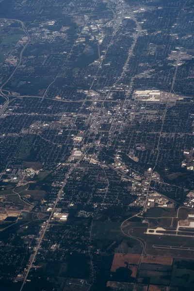
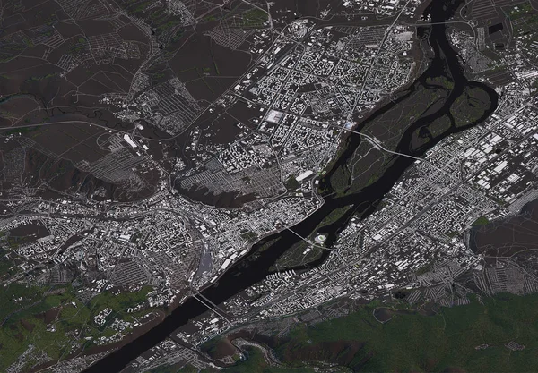
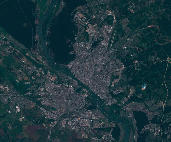
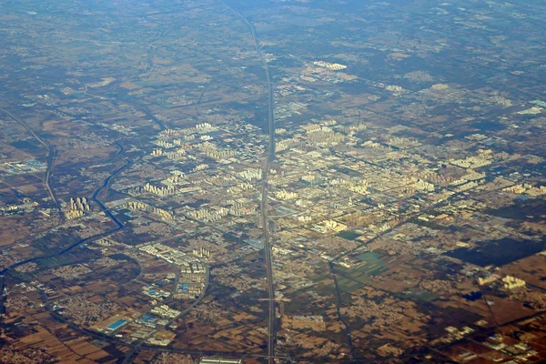
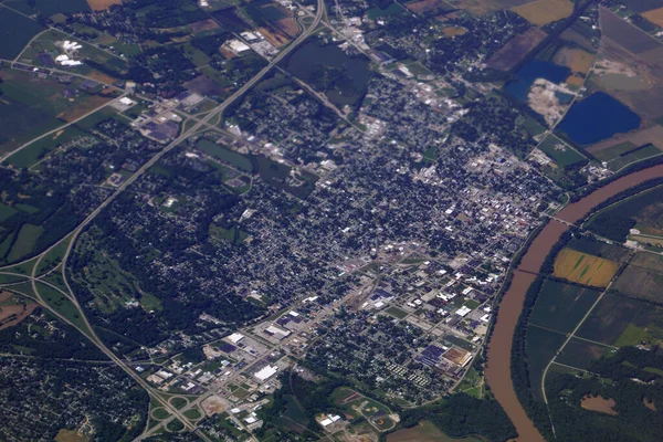
Stock image Aerial of City with Highway and Missouri River in the USA.
Published: May.07, 2020 09:08:56
Author: ericbvd
Views: 1
Downloads: 0
File type: image / jpg
File size: 15.44 MB
Orginal size: 6000 x 4000 px
Available sizes:
Level: bronze