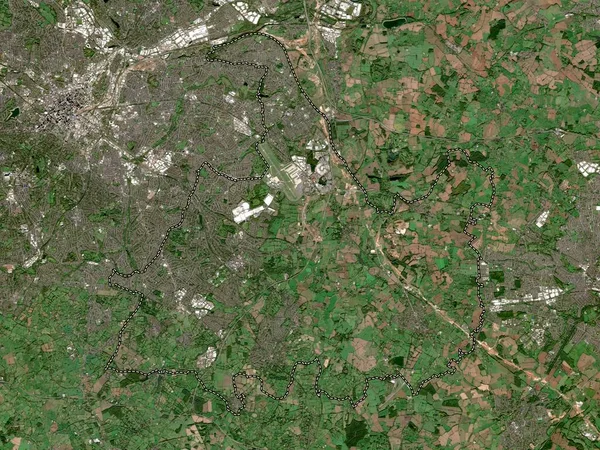
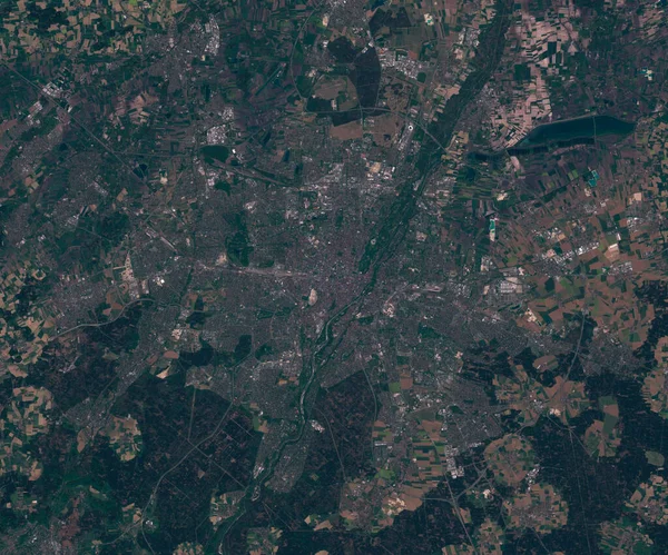
Stock image City of Peterborough, unitary authority of England - Great Britain. High resolution satellite map

Published: Apr.21, 2023 15:07:14
Author: Yarr65
Views: 0
Downloads: 0
File type: image / jpg
File size: 9.51 MB
Orginal size: 3840 x 2880 px
Available sizes:
Level: bronze
Similar stock images
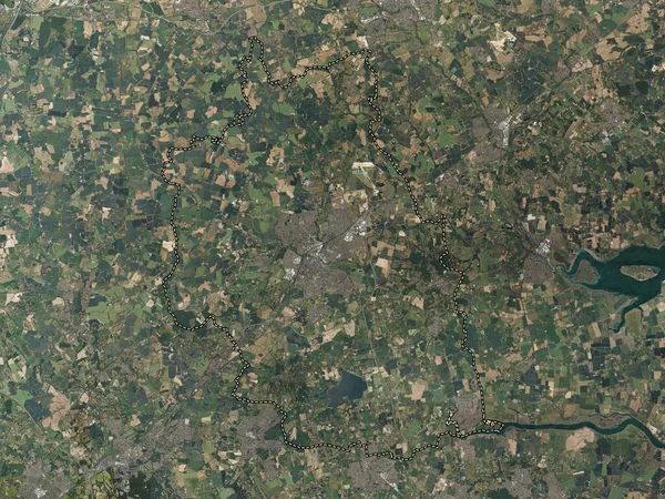
Mansfield, Non Metropolitan District Of England - Great Britain. High Resolution Satellite Map
3840 × 2880

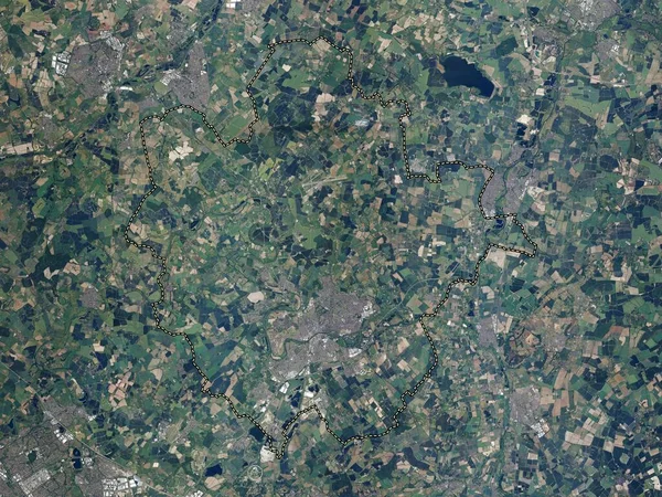
Rotherham, Administrative County Of England - Great Britain. High Resolution Satellite Map
3840 × 2880
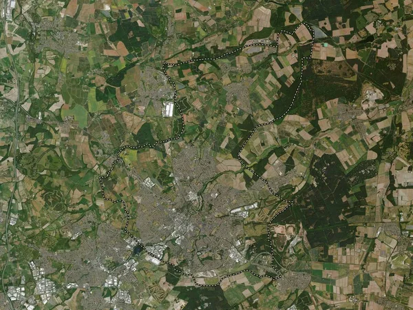
Surrey Heath, Non Metropolitan District Of England - Great Britain. High Resolution Satellite Map
3840 × 2880