Home
Images
Vectors
Videos
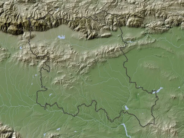
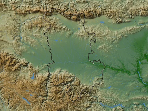
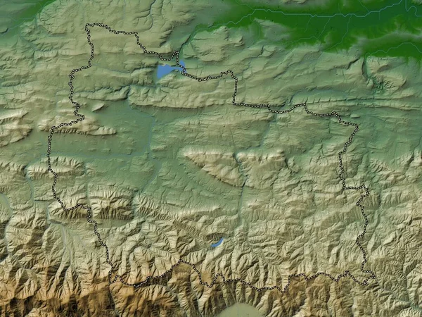
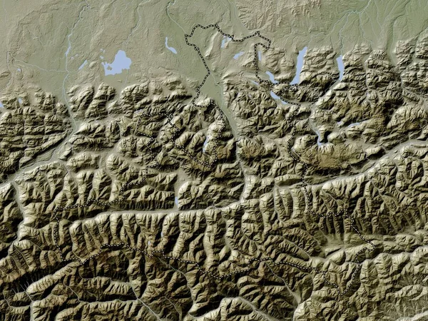
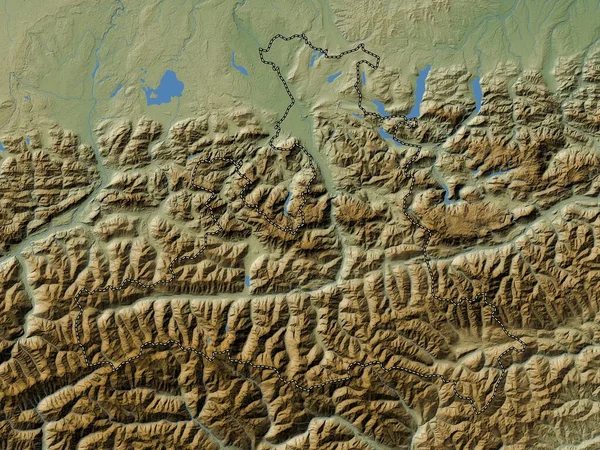
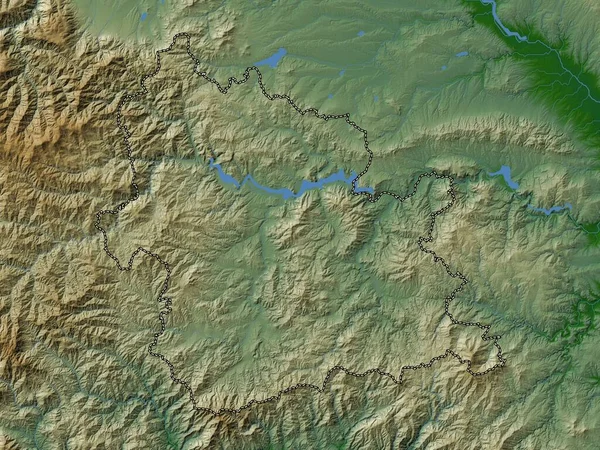
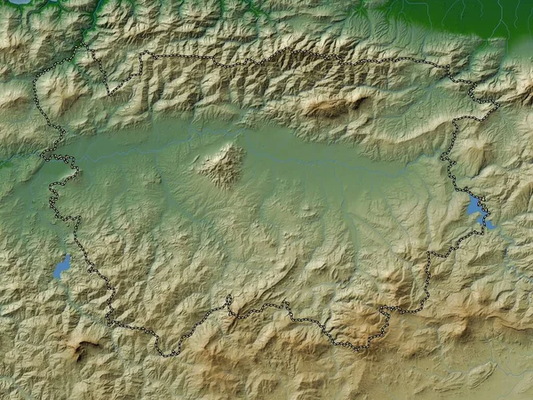
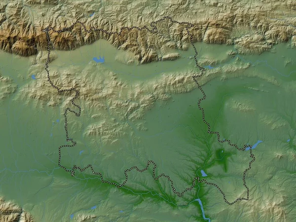
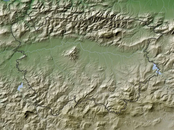
Stock image Ain Defla, province of Algeria. Colored elevation map with lakes and rivers
Published:
Sep.12, 2022 10:06:20
Author:
Yarr65
Views:
2
Downloads:
0
File type:
image
/
jpg
File size:
7.9 MB
Orginal size:
3840
x
2880
px
Available sizes:
S
(500 x 375)
M
(1000 x 750)
L
(2000 x 1500)
XL
(3840 x 2880)
EL0
(3840 x 2880)
Level:
bronze
Download Image
Image topics:
Shape
Nature
Border
Contour
Earth
Planet
World
Ocean
Science
Capital
Outline
Country
Map
Geography
Africa
Algeria
Continent
Land
Zoom
Region
Territory
Atlas
Province
Legend
Algiers
Stereographic
Mansoura
Dza
Administrative Division
Remchi
Bensekrane
Hennaya
Ouled Mimoun
Nedroma
Sidi Senoussi
Sidi Abdelli
Beni Mester
Chetouane
Similar stock images
Stara Zagora, Province Of Bulgaria. Colored Elevation Map With Lakes And Rivers
3840 × 2880
Ain Defla, Province Of Algeria. Elevation Map Colored In Wiki Style With Lakes And Rivers
3840 × 2880
Stara Zagora, Province Of Bulgaria. Elevation Map Colored In Wiki Style With Lakes And Rivers
3840 × 2880
Plovdiv, Province Of Bulgaria. Colored Elevation Map With Lakes And Rivers
3840 × 2880
Gabrovo, Province Of Bulgaria. Colored Elevation Map With Lakes And Rivers
3840 × 2880
Salzburg, State Of Austria. Elevation Map Colored In Wiki Style With Lakes And Rivers
3840 × 2880
Salzburg, State Of Austria. Colored Elevation Map With Lakes And Rivers
3840 × 2880
Kardzhali, Province Of Bulgaria. Colored Elevation Map With Lakes And Rivers
3840 × 2880