Home
Images
Vectors
Videos
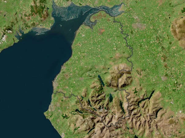
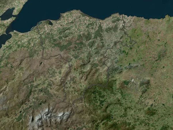
Stock image Allerdale, non metropolitan district of England - Great Britain. High resolution satellite map
Published:
Apr.21, 2023 12:53:59
Author:
Yarr65
Views:
0
Downloads:
0
File type:
image
/
jpg
File size:
7.19 MB
Orginal size:
3840
x
2880
px
Available sizes:
S
(500 x 375)
M
(1000 x 750)
L
(2000 x 1500)
XL
(3840 x 2880)
EL0
(3840 x 2880)
Level:
bronze
Download Image
Image topics:
Shape
Nature
Border
Contour
Earth
Planet
World
Ocean
Science
Capital
Europe
Outline
Country
Map
Geography
Continent
Land
Zoom
London
Region
Territory
Atlas
Legend
Stereographic
Keswick
GBR
Allerdale
Workington
Cockermouth
Maryport
Administrative Division
Silloth
Aspatria
Dearham
Wigton
England Great Britain
Non Metropolitan District
Flimby
Similar stock images
Moray, Region Of Scotland - Great Britain. High Resolution Satellite Map
3840 × 2880
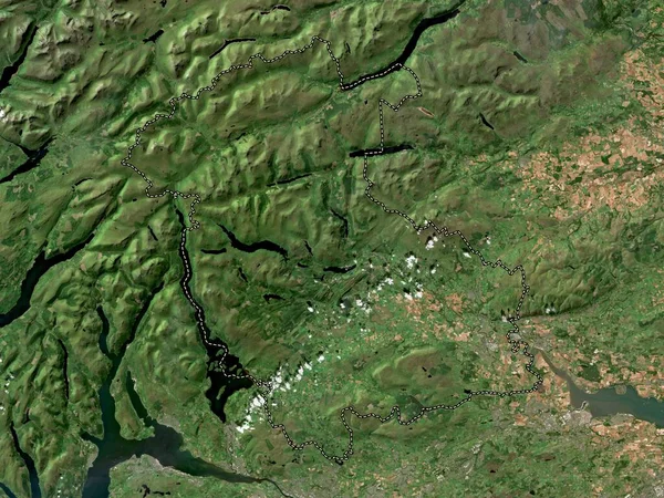
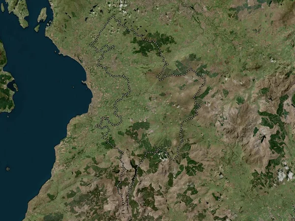
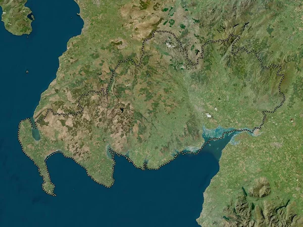
Lancashire, Administrative County Of England - Great Britain. High Resolution Satellite Map
3840 × 2880
Cumbria, Administrative County Of England - Great Britain. High Resolution Satellite Map
3840 × 2880
North Ayrshire, Region Of Scotland - Great Britain. Low Resolution Satellite Map
3840 × 2880
Stirling, Region Of Scotland - Great Britain. Low Resolution Satellite Map
3840 × 2880
East Ayrshire, Region Of Scotland - Great Britain. High Resolution Satellite Map
3840 × 2880
Dumfries And Galloway, Region Of Scotland - Great Britain. Low Resolution Satellite Map
3840 × 2880
Lancaster, Non Metropolitan District Of England - Great Britain. High Resolution Satellite Map
3840 × 2880