Home
Images
Vectors
Videos
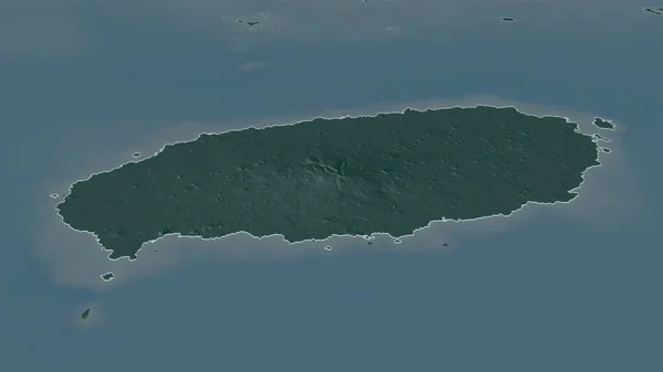
Stock image Amatignak Island in the North Pacific Ocean on a colored elevation map
Published:
Sep.11, 2024 14:56:08
Author:
zelwanka
Views:
0
Downloads:
0
File type:
image
/
jpg
File size:
0.9 MB
Orginal size:
2880
x
1620
px
Available sizes:
S
(500 x 281)
M
(1000 x 563)
L
(2000 x 1125)
XL
(2880 x 1620)
EL0
(2880 x 1620)
Level:
beginner
Download Image
Image topics:
Colored
Shape
Nature
Border
Physical
Contour
Earth
Planet
World
Usa
Ocean
Science
Elevation
Outline
Country
Map
Geography
Continent
Land
Zoom
Island
Region
Territory
Atlas
Stereographic
North America
United States
North Pacific Ocean
Andreanof Islands
Ile Amatignak
Amatignak Island
Similar stock images
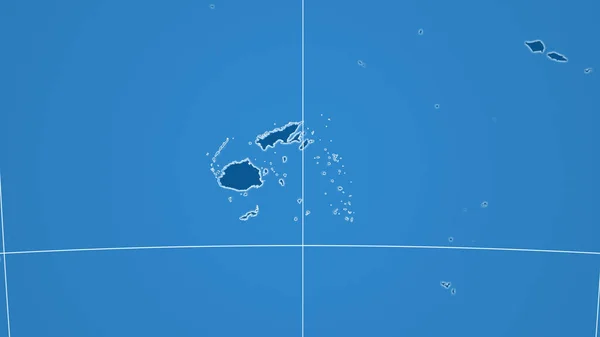
Falkland Islands Extruded On The Relief Orthographic Map. Capital, Administrative Borders And Graticule
3840 × 2160
Niue Highlighted On A Pale Colored Elevation Map With Lakes And Rivers
2688 × 1512
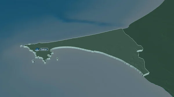
Zoom In On Pemba South (region Of Tanzania) Outlined. Oblique Perspective. Satellite Imagery. 3D Rendering
3840 × 2160
Fiji. Neighborhood - Distant Perspective With Outline Of The Country. Shapes Only - Land/ocean Mask
2880 × 1620
Zoom In On Jeju (province Of South Korea) Outlined. Oblique Perspective. Colored And Bumped Map Of The Administrative Division With Surface Waters. 3D Rendering
3840 × 2160
Zoom In On Iles Loyaute (province Of New Caledonia) Extruded. Oblique Perspective. Satellite Imagery. 3D Rendering
3840 × 2160
Zoom In On Dakar (region Of Senegal) Extruded. Oblique Perspective. Colored And Bumped Map Of The Administrative Division With Surface Waters. 3D Rendering
3840 × 2160
Antigua And Barbuda Highlighted On A Pale Colored Elevation Map With Lakes And Rivers
2688 × 1512