photo free
Home Images Vectors Videos

Stock image Antigua and Barbuda highlighted on a Pale colored elevation map with lakes and rivers

Stock image Antigua and Barbuda highlighted on a Pale colored elevation map with lakes and rivers
Published: Mar.04, 2024 10:43:45
Author: zelwanka
Views: 0
Downloads: 0
File type: image / jpg
File size: 1.37 MB
Orginal size: 2688 x 1512 px
Available sizes:
S
(500 x 281)
M
(1000 x 563)
L
(2000 x 1125)
XL
(2688 x 1512)
EL0
(2688 x 1512)
Level: beginner
Download Image
Image topics:

Similar stock images

stock image Zoom in on Pemba South (region of Tanzania) outlined. Oblique perspective. Satellite imagery. 3D rendering

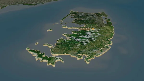
Zoom In On Pemba South (region Of Tanzania) Outlined. Oblique Perspective. Satellite Imagery. 3D Rendering

3840 × 2160
stock image Mayo, county of Ireland. Colored elevation map with lakes and rivers

Mayo, County Of Ireland. Colored Elevation Map With Lakes And Rivers

3840 × 2880
stock image Mean annual temperature variation within the Iceland area in the stereographic projection with legend - raw composition of raster layers with light glowing outline

Mean Annual Temperature Variation Within The Iceland Area In The Stereographic Projection With Legend - Raw Composition Of Raster Layers With Light Glowing Outline

2880 × 1620
stock image Hiiu, county of Estonia. Low resolution satellite map

Hiiu, County Of Estonia. Low Resolution Satellite Map

3840 × 2880
stock image Close-up of Denmark and its location in the region and in the center of a large-scale world map. Color physical map

Close-up Of Denmark And Its Location In The Region And In The Center Of A Large-scale World Map. Color Physical Map

2880 × 1620
stock image Zoom in on Pemba South (region of Tanzania) outlined. Oblique perspective. Topographic relief map with surface waters. 3D rendering

Zoom In On Pemba South (region Of Tanzania) Outlined. Oblique Perspective. Topographic Relief Map With Surface Waters. 3D Rendering

3840 × 2160
stock image Zoom in on Pemba South (region of Tanzania) extruded. Oblique perspective. Satellite imagery. 3D rendering

Zoom In On Pemba South (region Of Tanzania) Extruded. Oblique Perspective. Satellite Imagery. 3D Rendering

3840 × 2160
stock image Iceland area on the annual temperature map in the stereographic projection - raw composition of raster layers with light glowing outline

Iceland Area On The Annual Temperature Map In The Stereographic Projection - Raw Composition Of Raster Layers With Light Glowing Outline

2880 × 1620