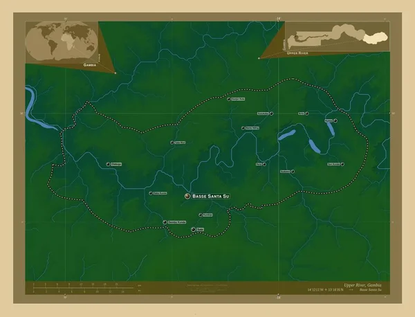
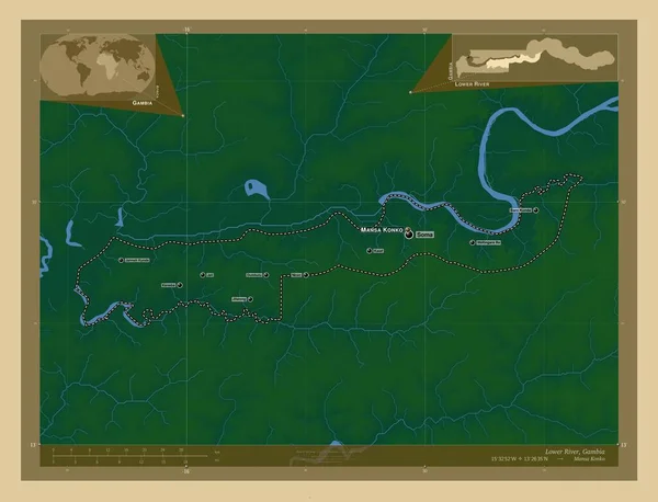
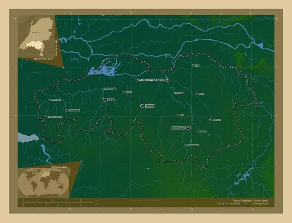
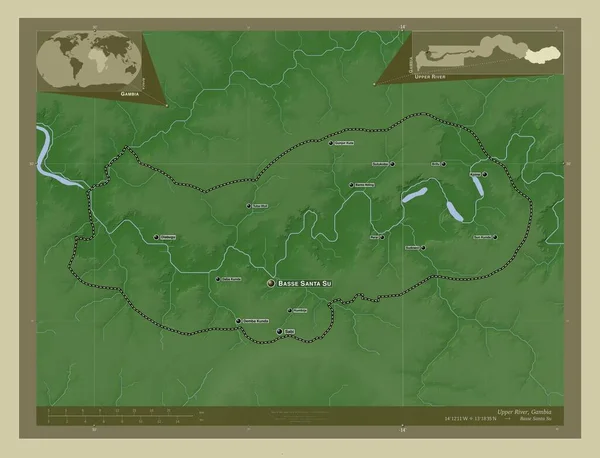
Stock image Antwerpen, province of Belgium. Colored elevation map with lakes and rivers. Locations and names of major cities of the region. Corner auxiliary location maps

Published: Sep.16, 2022 14:21:19
Author: Yarr65
Views: 3
Downloads: 0
File type: image / jpg
File size: 7.48 MB
Orginal size: 4930 x 3770 px
Available sizes:
Level: bronze