Home
Images
Vectors
Videos
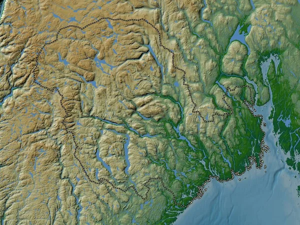
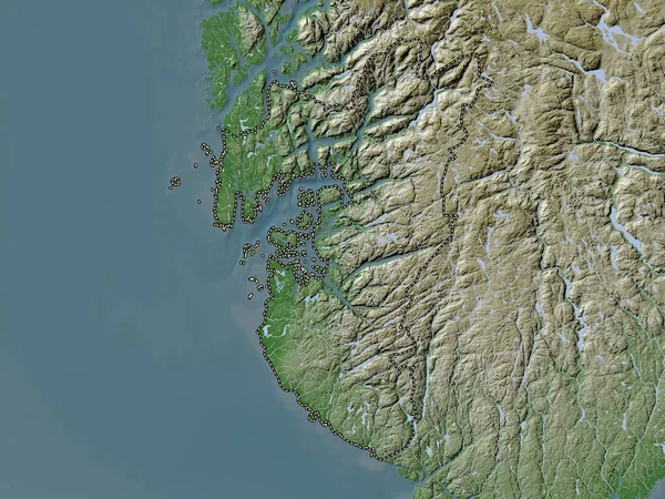
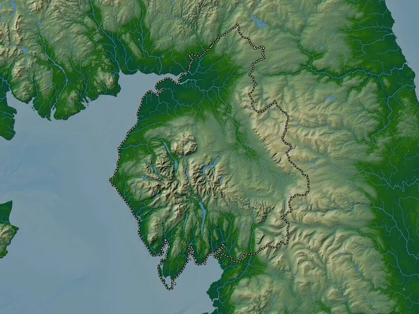
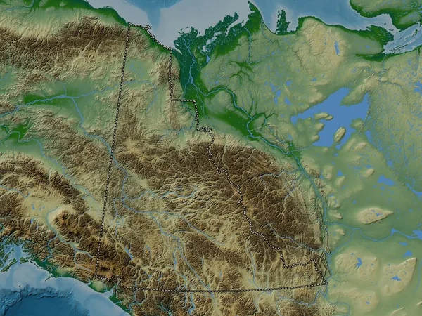
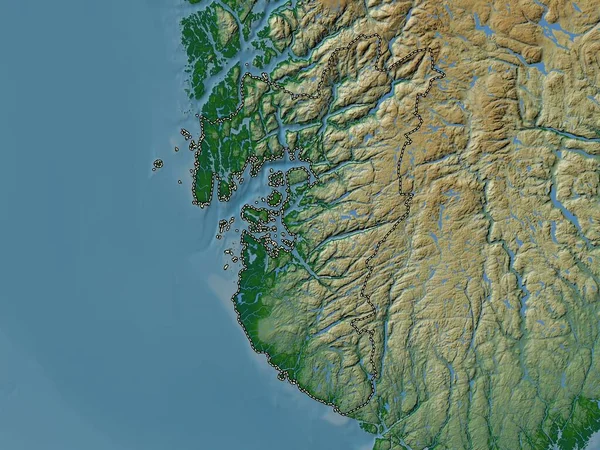
Stock image Baranof Island in the North Pacific Ocean on a colored elevation map
Published:
Sep.11, 2024 14:56:40
Author:
zelwanka
Views:
0
Downloads:
0
File type:
image
/
jpg
File size:
4.5 MB
Orginal size:
2880
x
1620
px
Available sizes:
S
(500 x 281)
M
(1000 x 563)
L
(2000 x 1125)
XL
(2880 x 1620)
EL0
(2880 x 1620)
Level:
beginner
Download Image
Image topics:
Colored
Shape
Nature
Border
Physical
Contour
Earth
Planet
World
Usa
Ocean
Science
Elevation
Outline
Country
Map
Geography
Continent
Land
Zoom
Island
Region
Territory
Atlas
Stereographic
North America
United States
North Pacific Ocean
Baranof Island
The Coastal Waters Of Southeast Alaska And British Columbia
Similar stock images
Vestfold Og Telemark, County Of Norway. Colored Elevation Map With Lakes And Rivers
3840 × 2880
Rogaland, County Of Norway. Elevation Map Colored In Wiki Style With Lakes And Rivers
3840 × 2880
Cumbria, Administrative County Of England - Great Britain. Colored Elevation Map With Lakes And Rivers
3840 × 2880
Yukon, Territory Of Canada. Colored Elevation Map With Lakes And Rivers
3840 × 2880
Moldova. Close-up Perspective Of The Country - No Outline. Color Physical Map
2880 × 1620
Vestfold Og Telemark, County Of Norway. High Resolution Satellite Map
3840 × 2880
Rogaland, County Of Norway. Colored Elevation Map With Lakes And Rivers
3840 × 2880
Shape Of British Columbia, Province Of Canada, With Its Capital Isolated On White Background. Colored Elevation Map. 3D Rendering
2302 × 3836