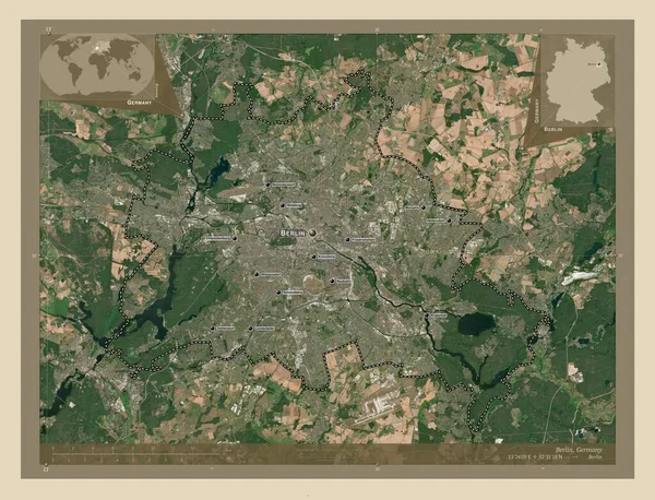
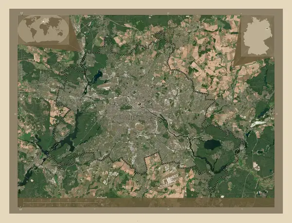
Stock image Berlin, state of Germany. High resolution satellite map. Corner auxiliary location maps
Published: Oct.04, 2022 10:03:13
Author: Yarr65
Views: 2
Downloads: 0
File type: image / jpg
File size: 11.45 MB
Orginal size: 4930 x 3770 px
Available sizes:
Level: bronze