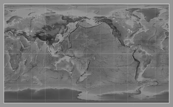
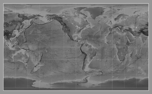
Stock image Bilevel map of the world in the Patterson Cylindrical projection centered on the meridian 90 east longitude
Published: Aug.22, 2023 10:48:02
Author: Yarr65
Views: 1
Downloads: 1
File type: image / jpg
File size: 8.08 MB
Orginal size: 4878 x 2880 px
Available sizes:
Level: bronze
Similar stock images
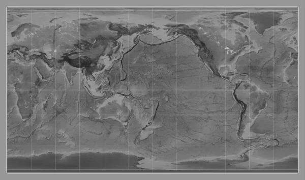
Grayscale Map Of The World In The Compact Miller Projection Centered On The Meridian -90 West Longitude
4653 × 2880

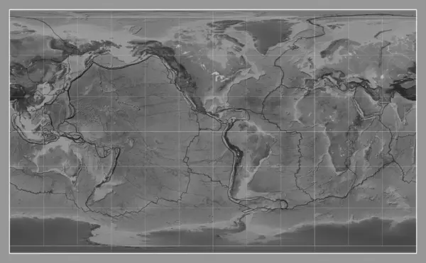
Grayscale Map Of The World In The Patterson Cylindrical Projection Centered On The Meridian 180 Longitude
4878 × 2880