Home
Images
Vectors
Videos
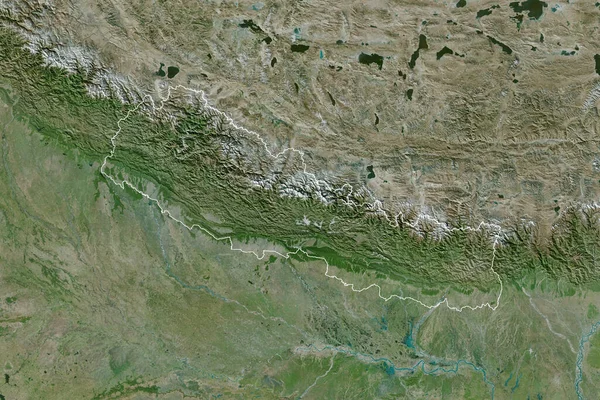
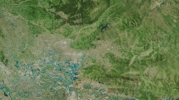
Stock image Bolikhamxai, province of Laos. High resolution satellite map
Published:
Oct.26, 2022 09:35:51
Author:
Yarr65
Views:
3
Downloads:
0
File type:
image
/
jpg
File size:
11.06 MB
Orginal size:
3840
x
2880
px
Available sizes:
S
(500 x 375)
M
(1000 x 750)
L
(2000 x 1500)
XL
(3840 x 2880)
EL0
(3840 x 2880)
Level:
bronze
Download Image
Image topics:
Shape
Nature
Border
Contour
Earth
Planet
World
Ocean
Science
Capital
Outline
Country
Map
Geography
Continent
Land
Zoom
Asia
Region
Territory
Atlas
Province
Legend
Laos
Lao
Vientiane
Stereographic
Administrative Division
Bolikhamxai
Muang Pakxan
Similar stock images
Nepal Area On The Satellite A Map In The Stereographic Projection - Raw Composition Of Raster Layers With Light Glowing Outline
2880 × 1620
Nepal Area On The Satellite D Map In The Stereographic Projection - Raw Composition Of Raster Layers With Light Glowing Outline
2880 × 1620
Bac Giang, Province Of Vietnam. Satellite Imagery. Shape Outlined Against Its Country Area. 3D Rendering
2880 × 1620
Thai Nguyen, Province Of Vietnam. High Resolution Satellite Map
3840 × 2880
Extended Area Of Outlined Nepal. Satellite Imagery. 3D Rendering
3000 × 2000
Bhutan Area On The Satellite D Map In The Stereographic Projection - Raw Composition Of Raster Layers
2880 × 1620
Extended Area Of Nepal With Country Outline, International And Regional Borders. Satellite Imagery. 3D Rendering
3000 × 2000
Mizoram, State Of India. High Resolution Satellite Map
3840 × 2880