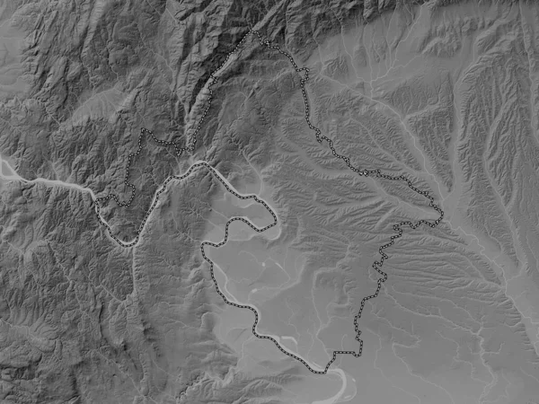
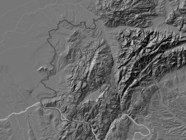
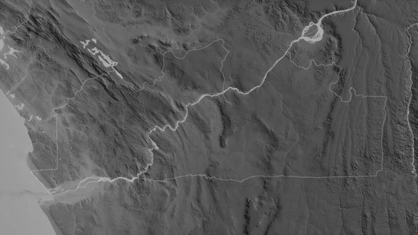
Stock image Borski, district of Serbia. Grayscale elevation map with lakes and rivers

Published: Feb.24, 2023 17:27:59
Author: Yarr65
Views: 2
Downloads: 2
File type: image / jpg
File size: 6.34 MB
Orginal size: 3840 x 2880 px
Available sizes:
Level: bronze