Home
Images
Vectors
Videos
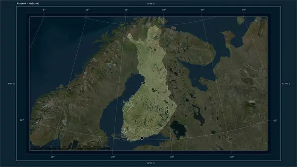
Stock image Bute Island in the Inner Seas off the West Coast of Scotland - belonging to United Kingdom. Described location diagram with yellow shape of the island and sample maps of its surroundings
Published:
Sep.11, 2024 14:24:13
Author:
zelwanka
Views:
0
Downloads:
0
File type:
image
/
jpg
File size:
3.49 MB
Orginal size:
3840
x
2160
px
Available sizes:
S
(500 x 281)
M
(1000 x 563)
L
(2000 x 1125)
XL
(3840 x 2160)
EL0
(3840 x 2160)
Level:
beginner
Download Image
Image topics:
Shape
Nature
Border
Frame
Contour
Tube
Earth
Planet
World
Ocean
Science
Europe
Outline
Country
Map
Geography
Continent
Land
Zoom
Channel
Island
Region
Diagram
Territory
Atlas
Legend
Ciovo
Coordinates
Stereographic
Bute
GBR
United Kingdom
Distance Scale
Inner Seas Off The West Coast Of Scotland
Ile De Bute
Isla De Bute
Bute Island
Similar stock images
Trentino-Alto Adige, Autonomous Region Of Italy. Colored Relief With Lakes And Rivers. Shape Presented Against Its Country Area With Informative Overlays. 3D Rendering
2880 × 1620
Taraclia, District Of Moldova. Diagram Showing The Location Of The Region On Larger-scale Maps. Composition Of Vector Frames And PNG Shapes On A Solid Background
4930 × 3770
Albania Highlighted On A High Resolution Satellite Map Map With The Country's Capital Point, Cartographic Grid, Distance Scale And Map Border Coordinates
2880 × 1620
Briceni, District Of Moldova. Diagram Showing The Location Of The Region On Larger-scale Maps. Composition Of Vector Frames And PNG Shapes On A Solid Background
4930 × 3770
Stefan Voda, District Of Moldova. Diagram Showing The Location Of The Region On Larger-scale Maps. Composition Of Vector Frames And PNG Shapes On A Solid Background
4930 × 3770
Ialoveni, District Of Moldova. Diagram Showing The Location Of The Region On Larger-scale Maps. Composition Of Vector Frames And PNG Shapes On A Solid Background
4930 × 3770
Belize, District Of Belize. Diagram Showing The Location Of The Region On Larger-scale Maps. Composition Of Vector Frames And PNG Shapes On A Solid Background
4930 × 3770
Finland Highlighted On A High Resolution Satellite Map Map With The Country's Capital Point, Cartographic Grid, Distance Scale And Map Border Coordinates
2880 × 1620