Stock image Canary Islands - Spain highlighted on a Pale colored elevation map with lakes and rivers

Published: Mar.04, 2024 11:03:24
Author: zelwanka
Views: 0
Downloads: 0
File type: image / jpg
File size: 1.75 MB
Orginal size: 2688 x 1512 px
Available sizes:
Level: beginner
Similar stock images


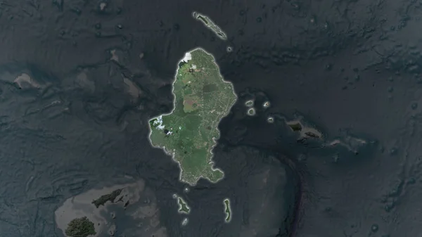
Wallis Island Area Enlarged And Glowed On A Darkened Background Of Its Surroundings. Satellite Imagery
3840 × 2160