Home
Images
Vectors
Videos
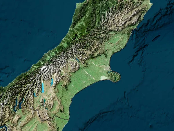
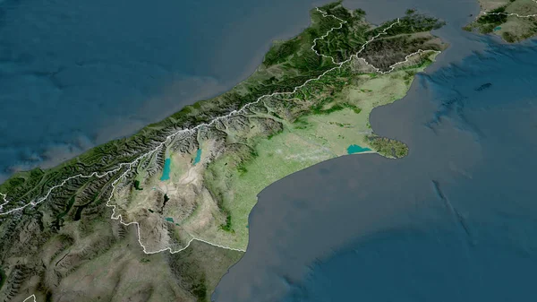
Stock image Canterbury - regional council of New Zealand zoomed and highlighted. Satellite imagery. 3D rendering
Published:
Aug.04, 2020 13:53:46
Author:
Yarr65
Views:
1
Downloads:
1
File type:
image
/
jpg
File size:
3.49 MB
Orginal size:
2880
x
1620
px
Available sizes:
S
(500 x 281)
M
(1000 x 563)
L
(2000 x 1125)
XL
(2880 x 1620)
EL0
(2880 x 1620)
Level:
bronze
Download Image
Image topics:
View
Shape
Travel
Nature
Sea
Border
Landscape
Glow
Earth
Planet
World
Ocean
Science
Capital
Globe
Profile
Outline
Country
Map
Cartography
Geography
Continent
Land
Zoom
Satellite
Region
Oceania
Territory
Atlas
Highlighted
Overlay
Wellington
Canterbury
Christchurch
3d Rendering
New Zealand
Nzl
Subregion
Regional Council
Administrative Division
Similar stock images
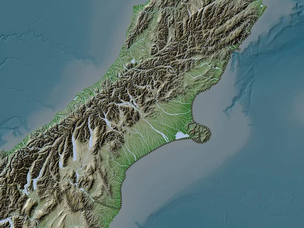
West Coast, Regional Council Of New Zealand. Colored Elevation Map With Lakes And Rivers
3840 × 2880
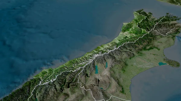
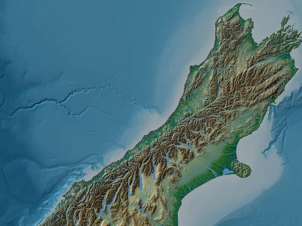
West Coast - Regional Council Of New Zealand Zoomed And Highlighted. Satellite Imagery. 3D Rendering
2880 × 1620
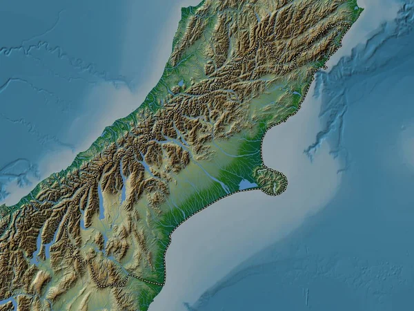
Canterbury, Regional Council Of New Zealand. Elevation Map Colored In Wiki Style With Lakes And Rivers
3840 × 2880
Canterbury - Regional Council Of New Zealand Zoomed And Highlighted With Capital. Satellite Imagery. 3D Rendering
2880 × 1620
Canterbury, Regional Council Of New Zealand. Low Resolution Satellite Map
3840 × 2880
Canterbury, Regional Council Of New Zealand. Colored Elevation Map With Lakes And Rivers
3840 × 2880
West Coast, Regional Council Of New Zealand. Colored Shader Data With Lakes And Rivers. Shape Outlined Against Its Country Area. 3D Rendering
2880 × 1620