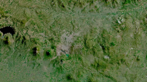
Stock image Chiquimula, department of Guatemala. Satellite imagery. Shape outlined against its country area. 3D rendering

Published: Jun.26, 2020 07:35:56
Author: Yarr65
Views: 0
Downloads: 0
File type: image / jpg
File size: 8.66 MB
Orginal size: 2880 x 1620 px
Available sizes:
Level: bronze
Similar stock images

Intibuca , Department Of Honduras. Satellite Imagery. Shape Outlined Against Its Country Area. 3D Rendering
2880 × 1620

Kara, Region Of Togo. Satellite Imagery. Shape Outlined Against Its Country Area. 3D Rendering
2880 × 1620
Lempira, Department Of Honduras. Satellite Imagery. Shape Outlined Against Its Country Area. 3D Rendering
2880 × 1620

Gambela Peoples, State Of Ethiopia. Satellite Imagery. Shape Outlined Against Its Country Area. 3D Rendering
2880 × 1620

Diourbel, Region Of Senegal. Satellite Imagery. Shape Outlined Against Its Country Area. 3D Rendering
2880 × 1620