Home
Images
Vectors
Videos
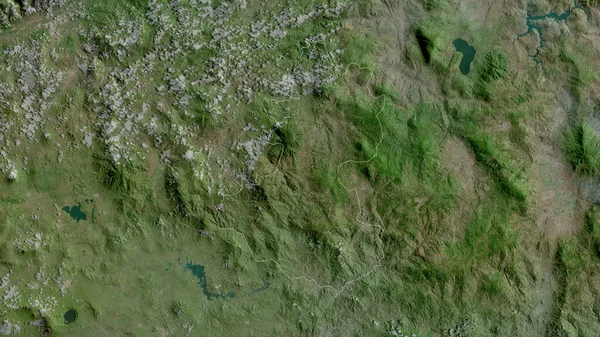
Stock image Lempira, department of Honduras. Satellite imagery. Shape outlined against its country area. 3D rendering
Published:
Jun.22, 2020 13:33:49
Author:
Yarr65
Views:
11
Downloads:
1
File type:
image
/
jpg
File size:
7.35 MB
Orginal size:
2880
x
1620
px
Available sizes:
S
(500 x 281)
M
(1000 x 563)
L
(2000 x 1125)
XL
(2880 x 1620)
EL0
(2880 x 1620)
Level:
bronze
Download Image
Image topics:
View
Shape
Travel
Nature
Border
Landscape
Glow
Contour
Scale
Earth
Planet
World
Ocean
Science
Capital
Profile
Outline
Country
Map
Cartography
Geography
Continent
Land
Zoom
Satellite
Department
Region
Territory
Outlined
Atlas
Legend
Overlay
Honduras
Tegucigalpa
Lempira
Gracias
Hnd
3d Rendering
North America
Subregion
Administrative Division
Similar stock images
Intibuca , Department Of Honduras. Satellite Imagery. Shape Outlined Against Its Country Area. 3D Rendering
2880 × 1620
Chiquimula, Department Of Guatemala. Satellite Imagery. Shape Outlined Against Its Country Area. 3D Rendering
2880 × 1620
Potaro-Siparuni, Region Of Guyana. Satellite Imagery. Shape Outlined Against Its Country Area. 3D Rendering
2880 × 1620
El Paraiso , Department Of Honduras. Satellite Imagery. Shape Outlined Against Its Country Area. 3D Rendering
2880 × 1620
Jalapa, Department Of Guatemala. Satellite Imagery. Shape Outlined Against Its Country Area. 3D Rendering
2880 × 1620
Guatemala, Department Of Guatemala. Satellite Imagery. Shape Outlined Against Its Country Area. 3D Rendering
2880 × 1620
Ocotepeque, Department Of Honduras. Satellite Imagery. Shape Outlined Against Its Country Area. 3D Rendering
2880 × 1620
Gambela Peoples, State Of Ethiopia. Satellite Imagery. Shape Outlined Against Its Country Area. 3D Rendering
2880 × 1620