Home
Images
Vectors
Videos
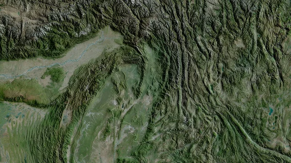
Stock image Chongqing, municipality of China. Satellite imagery. Shape outlined against its country area. 3D rendering
Published:
Jul.10, 2020 12:55:29
Author:
Yarr65
Views:
0
Downloads:
0
File type:
image
/
jpg
File size:
8.05 MB
Orginal size:
2880
x
1620
px
Available sizes:
S
(500 x 281)
M
(1000 x 563)
L
(2000 x 1125)
XL
(2880 x 1620)
EL0
(2880 x 1620)
Level:
bronze
Download Image
Image topics:
View
Shape
Travel
Nature
Border
Landscape
Glow
Contour
Scale
Earth
Planet
World
Ocean
Science
Capital
Profile
China
Outline
Country
Map
Cartography
Geography
Continent
Land
Zoom
Asia
Satellite
Beijing
Region
Territory
Outlined
Atlas
Legend
Overlay
Municipality
Chongqing
3d Rendering
Subregion
Chn
Administrative Division
Similar stock images
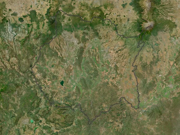
Sichuan, Province Of China. Satellite Imagery. Shape Outlined Against Its Country Area. 3D Rendering
2880 × 1620
San Juan, Province Of Dominican Republic. Satellite Imagery. Shape Outlined Against Its Country Area. 3D Rendering
2880 × 1620
Monsenor Nouel, Province Of Dominican Republic. Satellite Imagery. Shape Outlined Against Its Country Area. 3D Rendering
2880 × 1620
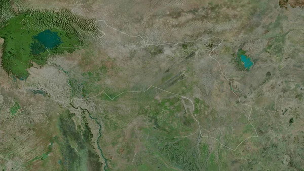
Hadjer-Lamis, Region Of Chad. Satellite Imagery. Shape Outlined Against Its Country Area. 3D Rendering
2880 × 1620
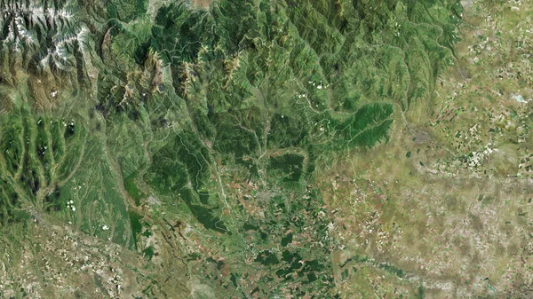
Prahova, County Of Romania. Satellite Imagery. Shape Outlined Against Its Country Area. 3D Rendering
2880 × 1620
Kachin, State Of Myanmar. Satellite Imagery. Shape Outlined Against Its Country Area. 3D Rendering
2880 × 1620
Morelos, State Of Mexico. High Resolution Satellite Map
3840 × 2880
Gansu, Province Of China. Satellite Imagery. Shape Outlined Against Its Country Area. 3D Rendering
2880 × 1620