Home
Images
Vectors
Videos
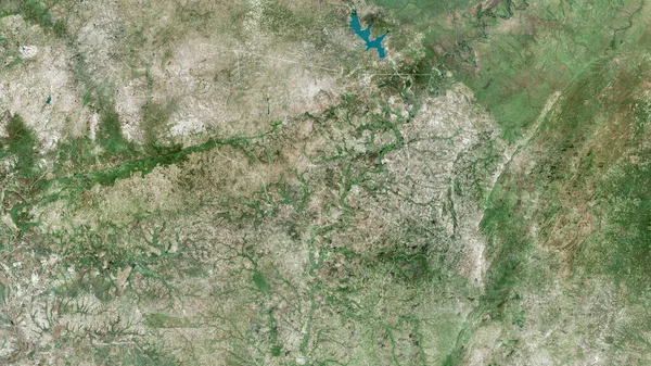
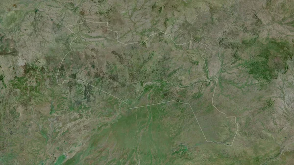
Stock image Morelos, state of Mexico. High resolution satellite map
Published:
Nov.02, 2022 14:35:44
Author:
Yarr65
Views:
1
Downloads:
0
File type:
image
/
jpg
File size:
10.06 MB
Orginal size:
3840
x
2880
px
Available sizes:
S
(500 x 375)
M
(1000 x 750)
L
(2000 x 1500)
XL
(3840 x 2880)
EL0
(3840 x 2880)
Level:
bronze
Download Image
Image topics:
Shape
Nature
Border
Contour
Earth
Planet
World
Ocean
Science
Capital
Outline
Country
Map
Geography
Continent
Land
Zoom
State
Region
Territory
Mexico
Atlas
Legend
Tabasco
Mex
Stereographic
Guadalupe
Loreto
Morelos
Villanueva
North America
Mexico City
Rio Grande
Cuernavaca
Fresnillo
Sombrerete
Juan Aldama
Concepcion Del Oro
Jalpa
Administrative Division
Tlaltenango De Sanchez Roman
Nochistlan De Mejia
San Pedro Piedra Gorda
Similar stock images
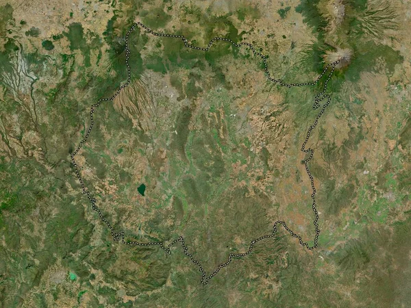
Lusaka, Province Of Zambia. Satellite Imagery. Shape Outlined Against Its Country Area. 3D Rendering
2880 × 1620
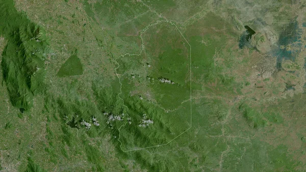
Nord, Region Of Cameroon. Satellite Imagery. Shape Outlined Against Its Country Area. 3D Rendering
2880 × 1620
Murang'a, County Of Kenya. High Resolution Satellite Map
3840 × 2880
Arad, County Of Romania. Satellite Imagery. Shape Outlined Against Its Country Area. 3D Rendering
2880 × 1620
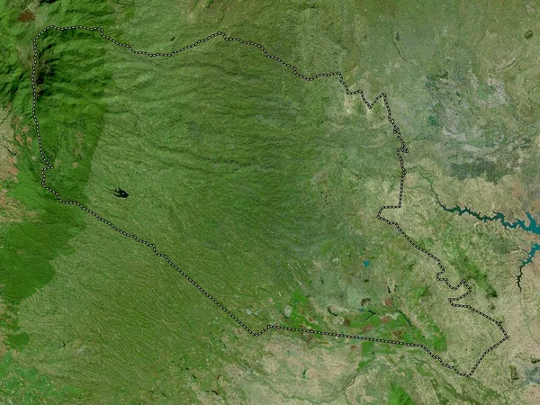
Sila, Region Of Chad. Satellite Imagery. Shape Outlined Against Its Country Area. 3D Rendering
2880 × 1620
Savanes, Region Of Togo. Satellite Imagery. Shape Outlined Against Its Country Area. 3D Rendering
2880 × 1620
Krong Pailin, Municipality Of Cambodia. Satellite Imagery. Shape Outlined Against Its Country Area. 3D Rendering
2880 × 1620
Upper East, Region Of Ghana. Satellite Imagery. Shape Outlined Against Its Country Area. 3D Rendering
2880 × 1620