Home
Images
Vectors
Videos
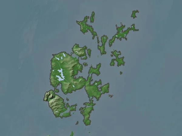
Stock image Chugul Island in the Bering Sea on a colored elevation map
Published:
Sep.11, 2024 14:57:19
Author:
zelwanka
Views:
0
Downloads:
0
File type:
image
/
jpg
File size:
0.93 MB
Orginal size:
2880
x
1620
px
Available sizes:
S
(500 x 281)
M
(1000 x 563)
L
(2000 x 1125)
XL
(2880 x 1620)
EL0
(2880 x 1620)
Level:
beginner
Download Image
Image topics:
Colored
Shape
Nature
Border
Physical
Contour
Earth
Planet
World
Usa
Ocean
Science
Elevation
Outline
Country
Map
Geography
Continent
Land
Zoom
Island
Region
Territory
Atlas
Stereographic
North America
United States
Bering Sea
Andreanof Islands
Chugul Island
Similar stock images
Antigua And Barbuda Highlighted On A Pale Colored Elevation Map With Lakes And Rivers
2688 × 1512
Niue Highlighted On A Pale Colored Elevation Map With Lakes And Rivers
2688 × 1512
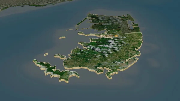
Zoom In On Pemba South (region Of Tanzania) Outlined. Oblique Perspective. Satellite Imagery. 3D Rendering
3840 × 2160
Zoom In On Pemba South (region Of Tanzania) Extruded. Oblique Perspective. Satellite Imagery. 3D Rendering
3840 × 2160
Orkney Islands, Region Of Scotland - Great Britain. Elevation Map Colored In Wiki Style With Lakes And Rivers
3840 × 2880
Niue Outlined On A Topographic, OSM Standard Style Map
2688 × 1512
Mayo, County Of Ireland. Colored Elevation Map With Lakes And Rivers
3840 × 2880
Bolama - Region Of Guinea-Bissau Zoomed And Highlighted. Main Physical Landscape Features. 3D Rendering
2880 × 1620