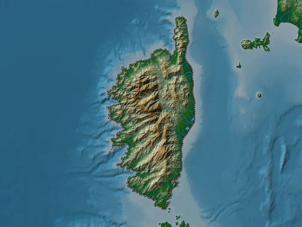
Stock image Corse, region of France. Colored elevation map with lakes and rivers
Published: Oct.04, 2022 10:48:27
Author: Yarr65
Views: 2
Downloads: 0
File type: image / jpg
File size: 3.97 MB
Orginal size: 3840 x 2880 px
Available sizes:
Level: bronze
Similar stock images

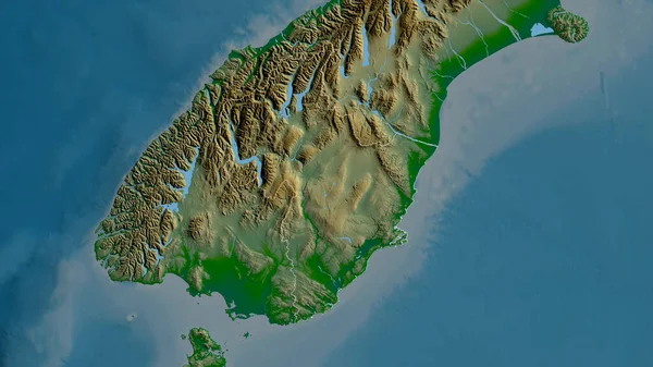
Sardegna, Autonomous Region Of Italy. Elevation Map Colored In Wiki Style With Lakes And Rivers
3840 × 2880