photo free
Home Images Vectors Videos

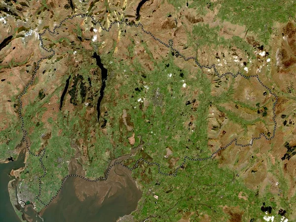
Stock image Cumbria, administrative county of England - Great Britain. Low resolution satellite map

Stock image Cumbria, administrative county of England - Great Britain. Low resolution satellite map
Published: Apr.21, 2023 12:51:08
Author: Yarr65
Views: 0
Downloads: 0
File type: image / jpg
File size: 8.73 MB
Orginal size: 3840 x 2880 px
Available sizes:
S
(500 x 375)
M
(1000 x 750)
L
(2000 x 1500)
XL
(3840 x 2880)
EL0
(3840 x 2880)
Level: bronze
Download Image
Image topics:

Similar stock images

stock image Scottish Borders, region of Scotland - Great Britain. Low resolution satellite map

Scottish Borders, Region Of Scotland - Great Britain. Low Resolution Satellite Map

3840 × 2880
stock image Conwy, region of Wales - Great Britain. Low resolution satellite map

Conwy, Region Of Wales - Great Britain. Low Resolution Satellite Map

3840 × 2880
stock image Copeland, non metropolitan district of England - Great Britain. Low resolution satellite map

Copeland, Non Metropolitan District Of England - Great Britain. Low Resolution Satellite Map

3840 × 2880
stock image Lancashire, administrative county of England - Great Britain. Low resolution satellite map

Lancashire, Administrative County Of England - Great Britain. Low Resolution Satellite Map

3840 × 2880
stock image South Lakeland, non metropolitan district of England - Great Britain. Low resolution satellite map

South Lakeland, Non Metropolitan District Of England - Great Britain. Low Resolution Satellite Map

3840 × 2880
stock image Satellite map of Reykjavik Iceland,, view from space

Satellite Map Of Reykjavik Iceland,, View From Space

3000 × 2500
stock image River with muddy water flows into the sea, river valley, satellite image of Madagascar

River With Muddy Water Flows Into The Sea, River Valley, Satellite Image Of Madagascar

3366 × 1894
stock image Troms og Finnmark, county of Norway. High resolution satellite map

Troms Og Finnmark, County Of Norway. High Resolution Satellite Map

3840 × 2880