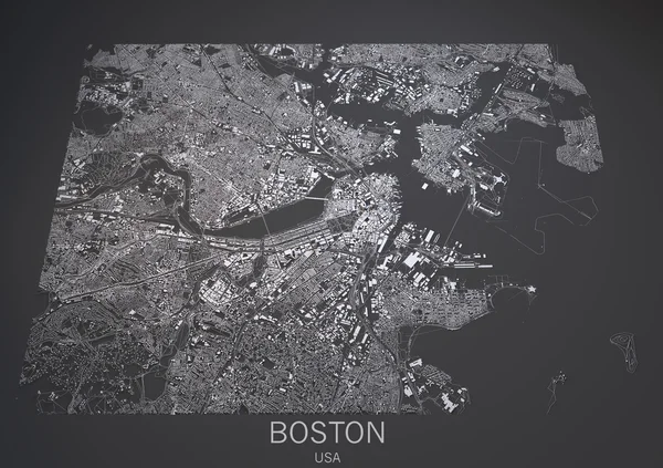
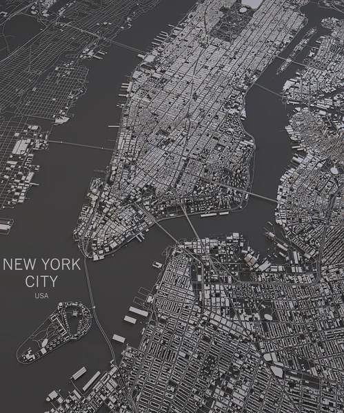
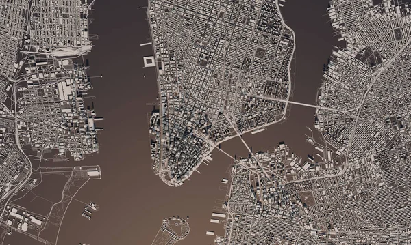
Stock image Philadelphia map, satellite view, Usa. 3d rendering

Published: Jan.24, 2017 15:33:33
Author: vampy1
Views: 67
Downloads: 0
File type: image / jpg
File size: 10.66 MB
Orginal size: 4725 x 3150 px
Available sizes:
Level: silver