Home
Images
Vectors
Videos
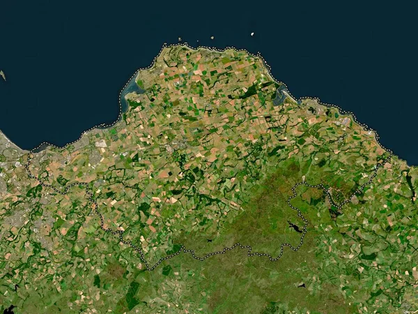
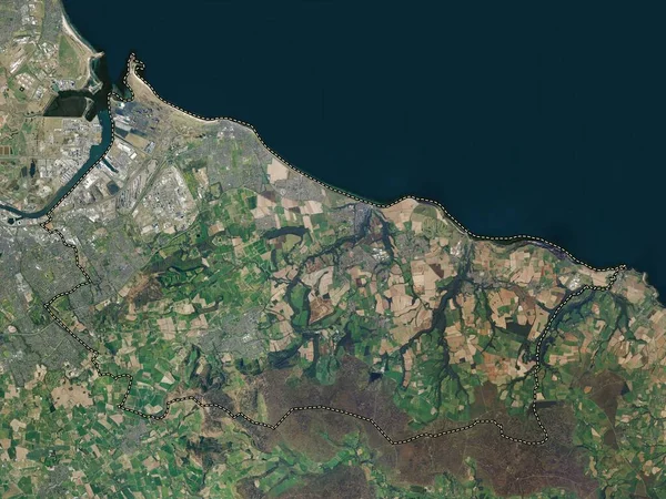
Stock image East Lothian, region of Scotland - Great Britain. High resolution satellite map
Published:
Apr.21, 2023 13:49:25
Author:
Yarr65
Views:
3
Downloads:
0
File type:
image
/
jpg
File size:
5.14 MB
Orginal size:
3840
x
2880
px
Available sizes:
S
(500 x 375)
M
(1000 x 750)
L
(2000 x 1500)
XL
(3840 x 2880)
EL0
(3840 x 2880)
Level:
bronze
Download Image
Image topics:
Shape
Nature
Border
Contour
Earth
Planet
World
Ocean
Science
Capital
Europe
Outline
Country
Map
Geography
Continent
Land
Zoom
Region
Territory
Atlas
Legend
Edinburgh
Stereographic
GBR
Dunbar
North Berwick
Haddington
Aberlady
East Lothian
Musselburgh
East Linton
Ormiston
Longniddry
Gullane
Administrative Division
Prestonpans
Tranent
Scotland Great Britain
Pencaitland
Macmerry
Whitecraig
Cockenzie And Port Seton
Wallyford
Similar stock images
East Lothian, Region Of Scotland - Great Britain. Low Resolution Satellite Map
3840 × 2880
Fife, Region Of Scotland - Great Britain. High Resolution Satellite Map
3840 × 2880
Denbighshire, Region Of Wales - Great Britain. Low Resolution Satellite Map
3840 × 2880
Wicklow, County Of Ireland. High Resolution Satellite Map
3840 × 2880
Kildare, County Of Ireland. High Resolution Satellite Map
3840 × 2880
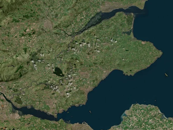
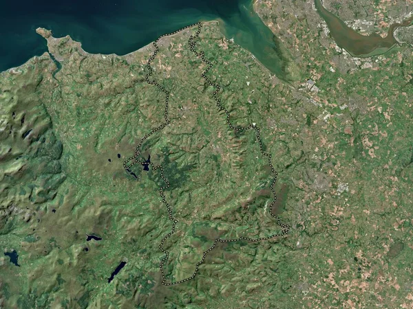
Redcar And Cleveland, Unitary Authority Of England - Great Britain. High Resolution Satellite Map
3840 × 2880
Ryedale, Non Metropolitan District Of England - Great Britain. High Resolution Satellite Map
3840 × 2880
Scottish Borders, Region Of Scotland - Great Britain. High Resolution Satellite Map
3840 × 2880