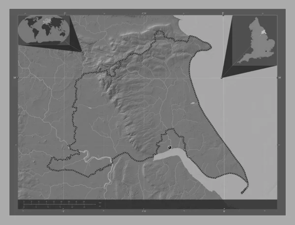
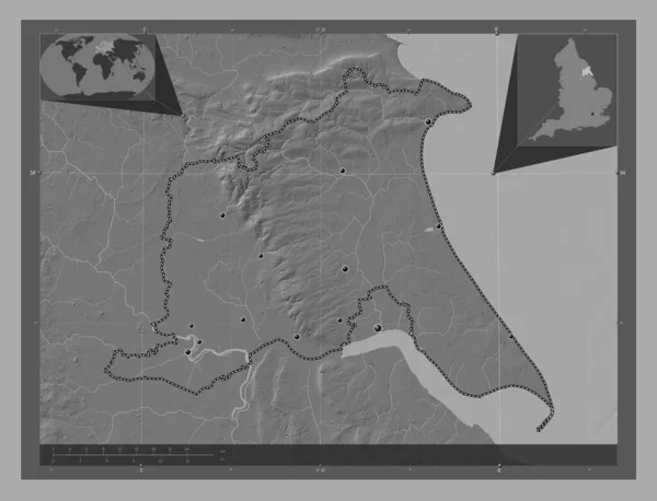
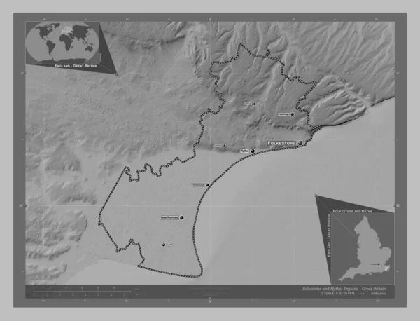
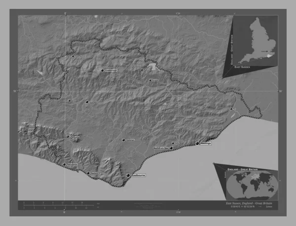
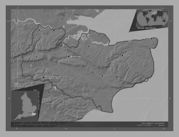
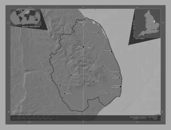
Stock image East Riding of Yorkshire, unitary authority of England - Great Britain. Bilevel elevation map with lakes and rivers. Locations and names of major cities of the region. Corner auxiliary location maps

Published: Apr.21, 2023 12:53:11
Author: Yarr65
Views: 0
Downloads: 0
File type: image / jpg
File size: 5.73 MB
Orginal size: 4930 x 3770 px
Available sizes:
Level: bronze