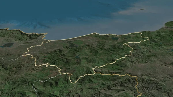
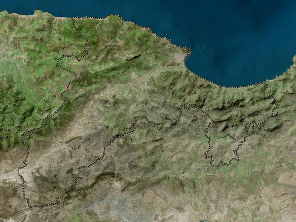
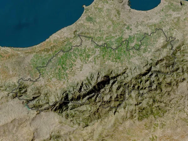
Stock image El Tarf, province of Algeria. High resolution satellite map

Published: Sep.12, 2022 09:39:48
Author: Yarr65
Views: 4
Downloads: 0
File type: image / jpg
File size: 8.56 MB
Orginal size: 3840 x 2880 px
Available sizes:
Level: bronze
Similar stock images


Dumfries And Galloway, Region Of Scotland - Great Britain. High Resolution Satellite Map
3840 × 2880