Stock image Ellesmere Island in the Baffin Bay on a colored elevation map

Published: Sep.11, 2024 13:51:54
Author: zelwanka
Views: 0
Downloads: 0
File type: image / jpg
File size: 3.72 MB
Orginal size: 2880 x 1620 px
Available sizes:
Level: beginner
Similar stock images
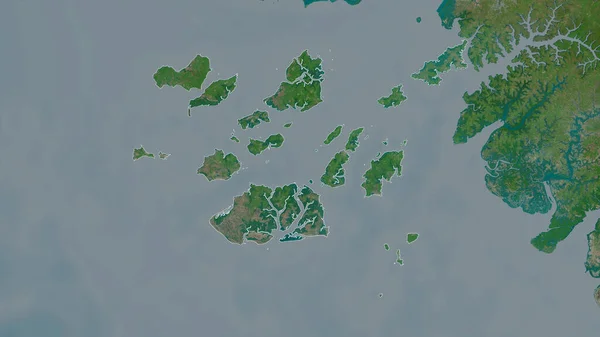
Bolama, Region Of Guinea-Bissau. Satellite Imagery. Shape Outlined Against Its Country Area. 3D Rendering
2880 × 1620
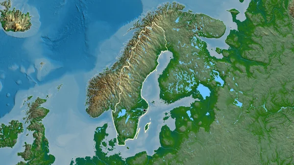
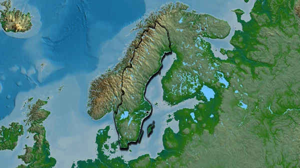
Close-up Of The Sweden Border Area On A Physical Map. Capital Point. Outline Around The Country Shape.
3840 × 2160

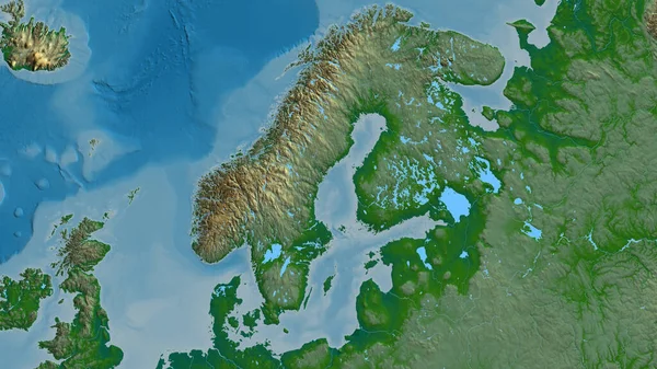
Close-up Of The Sweden Border Area On A Physical Map. Capital Point. Bevelled Edges Of The Country Shape.
3840 × 2160