Home
Images
Vectors
Videos
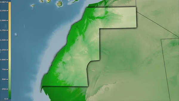
Stock image Extended area of outlined Western Sahara. Topographic relief map. 3D rendering
Published:
Sep.16, 2020 08:30:24
Author:
Yarr65
Views:
0
Downloads:
0
File type:
image
/
jpg
File size:
3.06 MB
Orginal size:
3000
x
2000
px
Available sizes:
S
(500 x 333)
M
(1000 x 667)
L
(2000 x 1333)
XL
(3000 x 2000)
EL0
(3000 x 2000)
Level:
bronze
Download Image
Image topics:
View
Travel
Nature
Sea
Landscape
Earth
Planet
World
Ocean
Science
Relief
Capital
Globe
Profile
Country
Map
Cartography
Geography
Africa
Continent
Land
Zoom
Region
Territory
Atlas
Overlay
Esh
3d Rendering
Western Sahara
Subregion
El Aaiun
Administrative Division
Similar stock images
Extended Area Of Western Sahara With Country Outline, International And Regional Borders. Topographic Relief Map. 3D Rendering
3000 × 2000
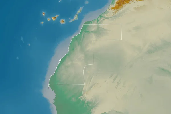
Outlined Shape Of The Western Sahara Area. Topographic Relief Map With Surface Waters. 3D Rendering
3840 × 2160
Extended Area Of Outlined Mauritania. Topographic Relief Map. 3D Rendering
3000 × 2000
Ras Al Khaymah, Emirate Of United Arab Emirates. High Resolution Satellite Map
3840 × 2880
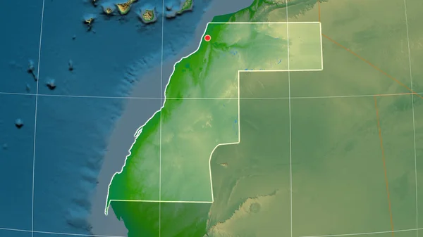
Western Sahara Outlined On The Physical Orthographic Map. Capital, Administrative Borders And Graticule
3840 × 2160
Western Sahara And Its Neighborhood. Distant Oblique Perspective - Shape Outlined. Color Physical Map
2880 × 1620
Outlined Shape Of The Tunisia Area. Topographic Relief Map With Surface Waters. 3D Rendering
3840 × 2160
Physical Map Within The Western Sahara Area In The Stereographic Projection With Legend - Raw Composition Of Raster Layers With Dark Glowing Outline
2880 × 1620