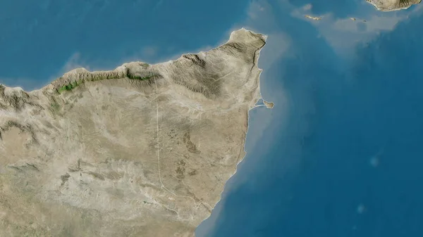
Stock image Ras Al Khaymah, emirate of United Arab Emirates. High resolution satellite map

Published: Apr.21, 2023 13:41:40
Author: Yarr65
Views: 1
Downloads: 0
File type: image / jpg
File size: 4.31 MB
Orginal size: 3840 x 2880 px
Available sizes:
Level: bronze