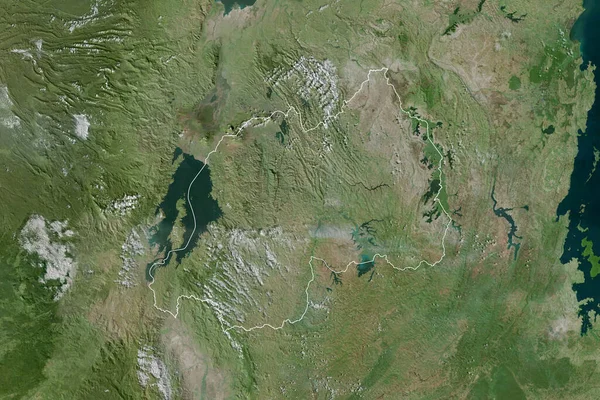
Stock image Extended area of Rwanda with country outline, international and regional borders. Satellite imagery. 3D rendering

Published: Sep.16, 2020 07:25:30
Author: Yarr65
Views: 0
Downloads: 0
File type: image / jpg
File size: 8.95 MB
Orginal size: 3000 x 2000 px
Available sizes:
Level: bronze
Similar stock images

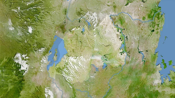
Rwanda Area On The Satellite A Map In The Stereographic Projection - Raw Composition Of Raster Layers
2880 × 1620
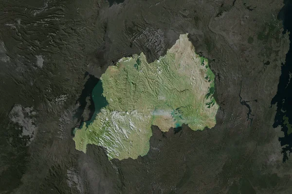
Shape Of Rwanda Separated By The Desaturation Of Neighboring Areas. Satellite Imagery. 3D Rendering
3000 × 2000

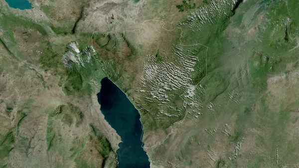
Ruvuma, Region Of Tanzania. Satellite Imagery. Shape Outlined Against Its Country Area. 3D Rendering
2880 × 1620

Eastern, Province Of Zambia. Satellite Imagery. Shape Outlined Against Its Country Area. 3D Rendering
2880 × 1620