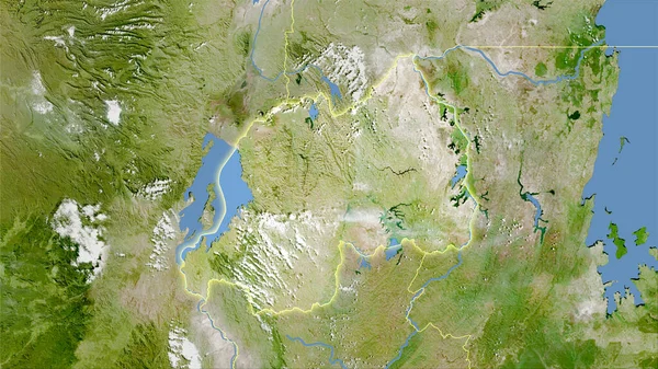
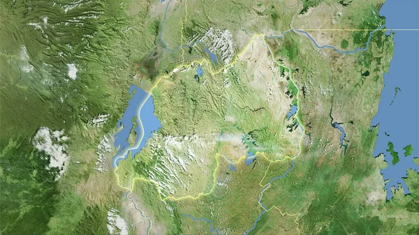
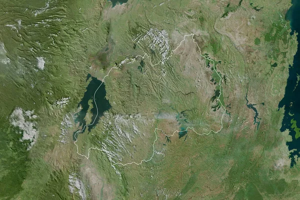
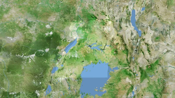
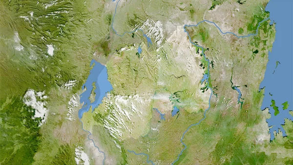
Stock image Rwanda area on the satellite A map in the stereographic projection - raw composition of raster layers
Published: Sep.16, 2020 07:02:22
Author: Yarr65
Views: 0
Downloads: 0
File type: image / jpg
File size: 7.03 MB
Orginal size: 2880 x 1620 px
Available sizes:
Level: bronze