Home
Images
Vectors
Videos
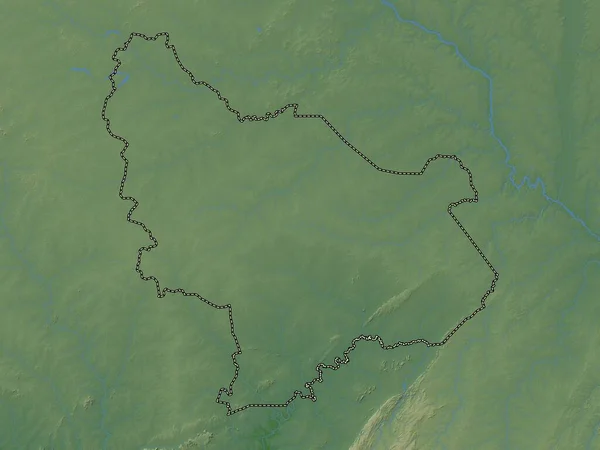
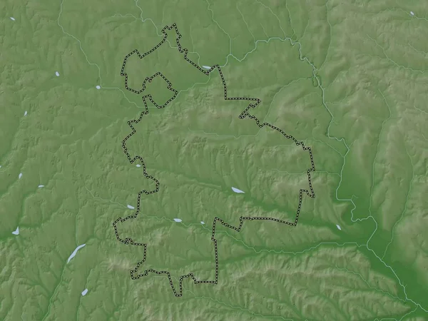
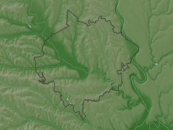
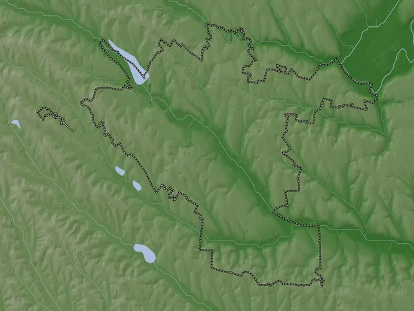
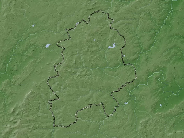
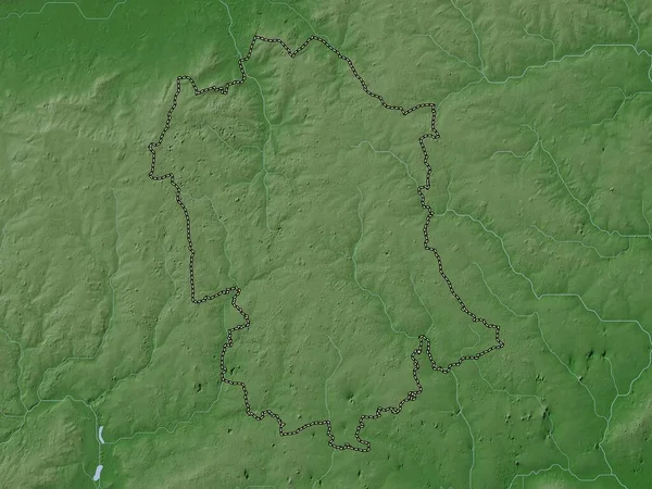
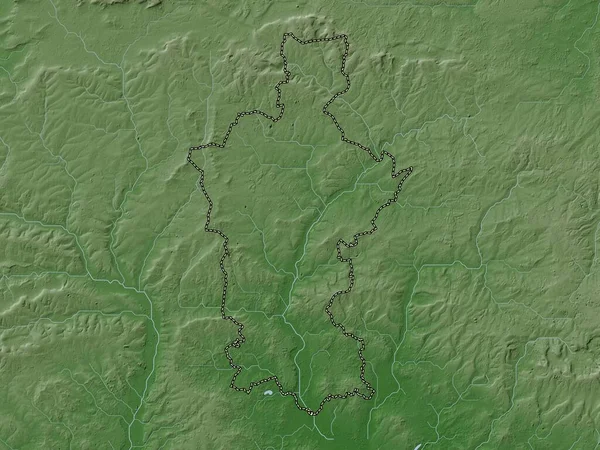
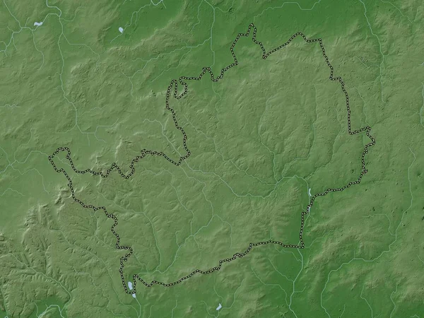
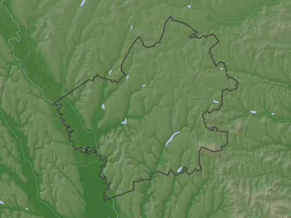
Stock image Falesti, district of Moldova. Elevation map colored in wiki style with lakes and rivers
Published:
Nov.02, 2022 14:55:35
Author:
Yarr65
Views:
1
Downloads:
0
File type:
image
/
jpg
File size:
4.82 MB
Orginal size:
3840
x
2880
px
Available sizes:
S
(500 x 375)
M
(1000 x 750)
L
(2000 x 1500)
XL
(3840 x 2880)
EL0
(3840 x 2880)
Level:
bronze
Download Image
Image topics:
Shape
Nature
Border
Contour
Earth
Planet
World
Ocean
Science
Capital
Europe
Outline
Country
District
Map
Geography
Continent
Land
Zoom
Region
Territory
Atlas
Legend
Chisinau
Moldova
Stereographic
Mda
Falesti
Administrative Division
Similar stock images
Est, Region Of Burkina Faso. Colored Elevation Map With Lakes And Rivers
3840 × 2880
Singerei, District Of Moldova. Elevation Map Colored In Wiki Style With Lakes And Rivers
3840 × 2880
Orhei, District Of Moldova. Elevation Map Colored In Wiki Style With Lakes And Rivers
3840 × 2880
Chisinau, City Of Moldova. Elevation Map Colored In Wiki Style With Lakes And Rivers
3840 × 2880
West Northamptonshire, Unitary Authority Of England - Great Britain. Elevation Map Colored In Wiki Style With Lakes And Rivers
3840 × 2880
Uttlesford, Non Metropolitan District Of England - Great Britain. Elevation Map Colored In Wiki Style With Lakes And Rivers
3840 × 2880
Test Valley, Non Metropolitan District Of England - Great Britain. Elevation Map Colored In Wiki Style With Lakes And Rivers
3840 × 2880
Hertfordshire, Administrative County Of England - Great Britain. Elevation Map Colored In Wiki Style With Lakes And Rivers
3840 × 2880