Home
Images
Vectors
Videos
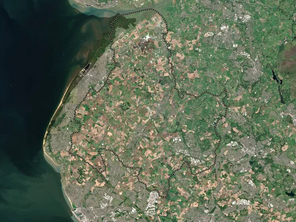
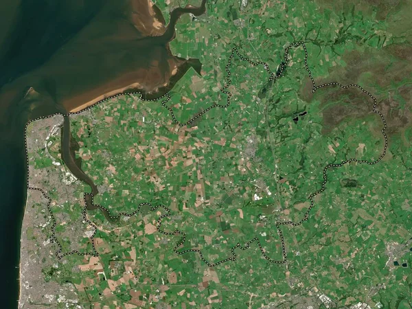
Stock image Flintshire, region of Wales - Great Britain. Low resolution satellite map
Published:
Apr.21, 2023 12:48:15
Author:
Yarr65
Views:
0
Downloads:
0
File type:
image
/
jpg
File size:
8.85 MB
Orginal size:
3840
x
2880
px
Available sizes:
S
(500 x 375)
M
(1000 x 750)
L
(2000 x 1500)
XL
(3840 x 2880)
EL0
(3840 x 2880)
Level:
bronze
Download Image
Image topics:
Shape
Nature
Border
Contour
Earth
Planet
World
Ocean
Science
Capital
Europe
Outline
Country
Map
Geography
Continent
Land
Zoom
Hope
Region
Territory
Atlas
Mold
Legend
Greenfield
Flint
Stereographic
Cardiff
Buckley
Shotton
GBR
Broughton
Holywell
Flintshire
Administrative Division
Hawarden
Mostyn
Caergwrle
Bagillt
Wales Great Britain
Leeswood
Treuddyn
Penyffordd
Similar stock images
Edinburgh, Region Of Scotland - Great Britain. Low Resolution Satellite Map
3840 × 2880
Denbighshire, Region Of Wales - Great Britain. Low Resolution Satellite Map
3840 × 2880
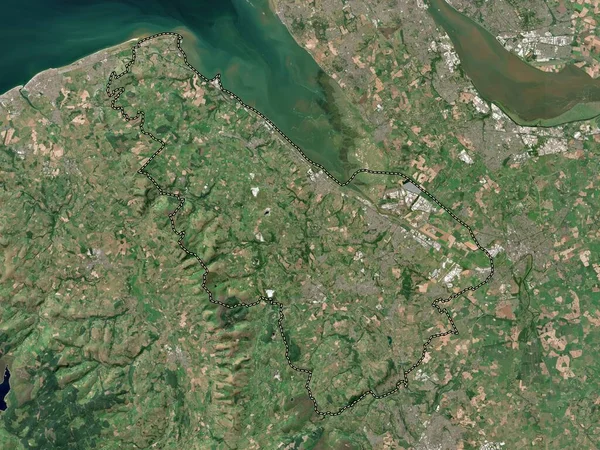
Wyre, Non Metropolitan District Of England - Great Britain. Low Resolution Satellite Map
3840 × 2880
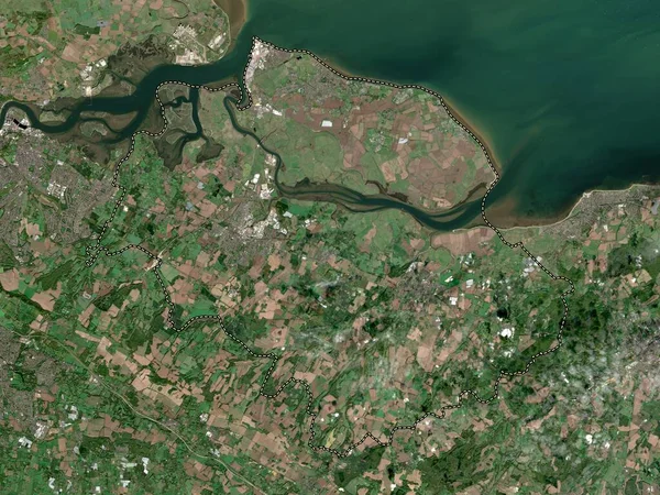
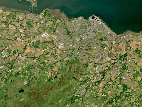
Swale, Non Metropolitan District Of England - Great Britain. Low Resolution Satellite Map
3840 × 2880
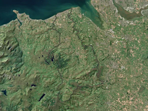
North Devon, Non Metropolitan District Of England - Great Britain. Low Resolution Satellite Map
3840 × 2880
Wyre, Non Metropolitan District Of England - Great Britain. High Resolution Satellite Map
3840 × 2880
West Lancashire, Non Metropolitan District Of England - Great Britain. Low Resolution Satellite Map
3840 × 2880
Sunderland, Unitary Authority Of England - Great Britain. Low Resolution Satellite Map
3840 × 2880