Home
Images
Vectors
Videos
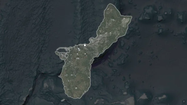
Stock image Grand Cayman - Cayman Islands highlighted on a high resolution satellite map
Published:
Mar.15, 2024 17:06:05
Author:
zelwanka
Views:
0
Downloads:
0
File type:
image
/
jpg
File size:
1.9 MB
Orginal size:
2688
x
1512
px
Available sizes:
S
(500 x 281)
M
(1000 x 563)
L
(2000 x 1125)
XL
(2688 x 1512)
EL0
(2688 x 1512)
Level:
beginner
Download Image
Image topics:
Shape
Nature
Border
Contour
Earth
Planet
World
Ocean
Science
Capital
Imagery
Outline
Country
Map
Geography
Continent
Land
Zoom
Satellite
Region
Territory
Atlas
Highlighted
Overlay
Stereographic
North America
George Town
Cym
Administrative Division
Grand Cayman Cayman Islands
Similar stock images
Zoom In On West New Britain (province Of Papua New Guinea) Extruded. Oblique Perspective. Satellite Imagery. 3D Rendering
3840 × 2160
The Highlighted Area Of Guam With Capital Point On The Desaturated Map Of Its Neighbourhood. Satellite Imagery
2880 × 1620
Zoom In On Pemba South (region Of Tanzania) Extruded. Oblique Perspective. Satellite Imagery. 3D Rendering
3840 × 2160
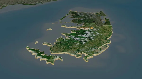
Pemba South - Region Of Tanzania Zoomed And Highlighted. Satellite Imagery. 3D Rendering
2880 × 1620
Zoom In On Pemba South (region Of Tanzania) Outlined. Oblique Perspective. Satellite Imagery. 3D Rendering
3840 × 2160
Zanzibar South And Central - Region Of Tanzania Zoomed And Highlighted. Satellite Imagery. 3D Rendering
2880 × 1620
Zoom In On Bougainville (autonomous Region Of Papua New Guinea) Extruded. Oblique Perspective. Satellite Imagery. 3D Rendering
3840 × 2160
Zoom In On East New Britain (province Of Papua New Guinea) Extruded. Oblique Perspective. Satellite Imagery. 3D Rendering
3840 × 2160