Home
Images
Vectors
Videos
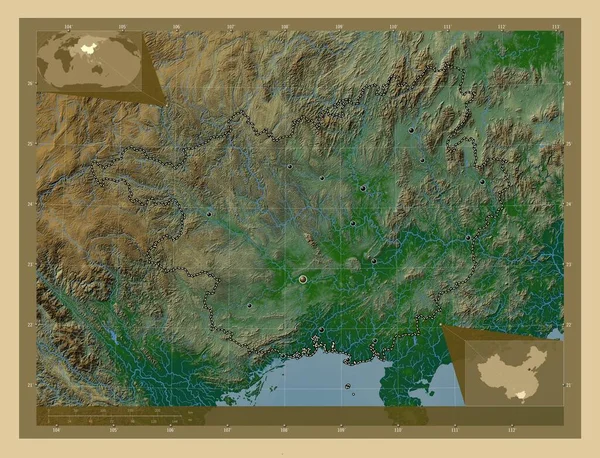
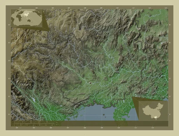
Stock image Guangxi, autonomous region of China. Colored elevation map with lakes and rivers. Corner auxiliary location maps
Published:
Sep.28, 2022 10:45:44
Author:
Yarr65
Views:
2
Downloads:
1
File type:
image
/
jpg
File size:
13.16 MB
Orginal size:
4930
x
3770
px
Available sizes:
S
(500 x 382)
M
(1000 x 765)
L
(2000 x 1529)
XL
(4930 x 3770)
EL0
(4930 x 3770)
Level:
bronze
Download Image
Image topics:
Shape
Nature
Border
Contour
Earth
Planet
World
Ocean
Science
Capital
China
Outline
Country
Map
Geography
Continent
Land
Zoom
Asia
Beijing
Region
Territory
Atlas
Legend
Guangxi
Stereographic
Nanning
Autonomous Region
Chn
Administrative Division
Similar stock images
Guangxi, Autonomous Region Of China. Colored Elevation Map With Lakes And Rivers. Locations Of Major Cities Of The Region. Corner Auxiliary Location Maps
4930 × 3770
Guangxi, Autonomous Region Of China. Colored Elevation Map With Lakes And Rivers. Locations And Names Of Major Cities Of The Region. Corner Auxiliary Location Maps
4930 × 3770
Henan, Province Of China. Colored Elevation Map With Lakes And Rivers. Locations Of Major Cities Of The Region. Corner Auxiliary Location Maps
4930 × 3770
Guangxi, Autonomous Region Of China. Elevation Map Colored In Wiki Style With Lakes And Rivers. Locations Of Major Cities Of The Region. Corner Auxiliary Location Maps
4930 × 3770
Guangxi, Autonomous Region Of China. Elevation Map Colored In Wiki Style With Lakes And Rivers. Corner Auxiliary Location Maps
4930 × 3770
Lang Son, Province Of Vietnam. Colored Elevation Map With Lakes And Rivers. Corner Auxiliary Location Maps
4930 × 3770
Lang Son, Province Of Vietnam. Colored Elevation Map With Lakes And Rivers. Locations Of Major Cities Of The Region. Corner Auxiliary Location Maps
4930 × 3770
Henan, Province Of China. Colored Elevation Map With Lakes And Rivers. Corner Auxiliary Location Maps
4930 × 3770