Home
Images
Vectors
Videos
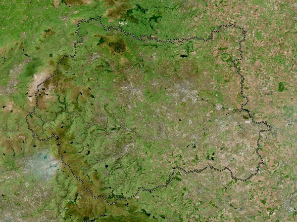
Stock image Gyor-Moson-Sopron, county of Hungary. Low resolution satellite map
Published:
Oct.04, 2022 09:43:16
Author:
Yarr65
Views:
2
Downloads:
0
File type:
image
/
jpg
File size:
8.24 MB
Orginal size:
3840
x
2880
px
Available sizes:
S
(500 x 375)
M
(1000 x 750)
L
(2000 x 1500)
XL
(3840 x 2880)
EL0
(3840 x 2880)
Level:
bronze
Download Image
Image topics:
Shape
Nature
Border
Contour
Earth
Planet
World
Ocean
Science
Capital
Europe
Outline
Country
Map
Geography
Continent
Land
Zoom
Region
Territory
Atlas
Budapest
Hungary
County
Legend
Keszthely
Stereographic
Heviz
Hun
Lenti
Gyor
Zalaszentgrot
Gyor Moson Sopron
Nagykanizsa
Administrative Division
Sarmellek
Zalalovo
Becsehely
Zalakomar
Letenye
Pacsa
Murakeresztur
Gyenesdias
Similar stock images
Vlaams Brabant, Province Of Belgium. High Resolution Satellite Map
3840 × 2880
Silistra, Province Of Bulgaria. High Resolution Satellite Map
3840 × 2880
West Yorkshire, Region Of England - Great Britain. High Resolution Satellite Map
3840 × 2880
Cherkasy, Region Of Ukraine. Low Resolution Satellite Map
3840 × 2880
Vas, County Of Hungary. Low Resolution Satellite Map
3840 × 2880
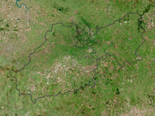
South Somerset, Non Metropolitan District Of England - Great Britain. High Resolution Satellite Map
3840 × 2880
Staffordshire, Administrative County Of England - Great Britain. Low Resolution Satellite Map
3840 × 2880
Valga, County Of Estonia. Low Resolution Satellite Map
3840 × 2880