Home
Images
Vectors
Videos
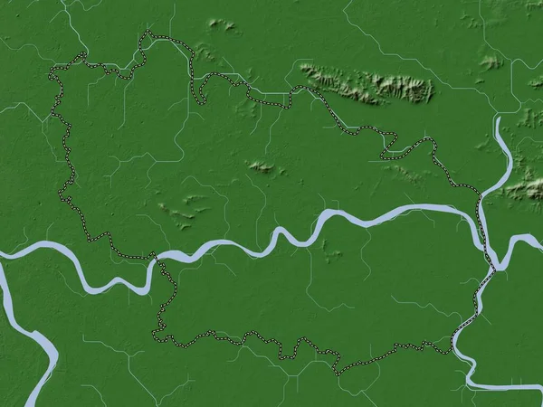
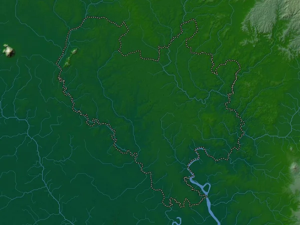
Stock image Ha Nam, province of Vietnam. Colored elevation map with lakes and rivers
Published:
Apr.21, 2023 13:02:50
Author:
Yarr65
Views:
0
Downloads:
0
File type:
image
/
jpg
File size:
5.11 MB
Orginal size:
3840
x
2880
px
Available sizes:
S
(500 x 375)
M
(1000 x 750)
L
(2000 x 1500)
XL
(3840 x 2880)
EL0
(3840 x 2880)
Level:
bronze
Download Image
Image topics:
Shape
Nature
Border
Contour
Earth
Planet
World
Ocean
Science
Capital
Outline
Country
Map
Geography
Continent
Land
Zoom
Asia
Vietnam
Hanoi
Region
Territory
Atlas
Province
Legend
Stereographic
Vnm
Administrative Division
Ha Nam
Phu Ly
Chan Ly
Nhan Thinh
Similar stock images
Hung Yen, Province Of Vietnam. Colored Elevation Map With Lakes And Rivers
3840 × 2880
Hung Yen, Province Of Vietnam. Elevation Map Colored In Wiki Style With Lakes And Rivers
3840 × 2880
Kandal, Province Of Cambodia. Elevation Map Colored In Wiki Style With Lakes And Rivers
3840 × 2880
Kaesong, Special Administrative Region Of North Korea. Colored Elevation Map With Lakes And Rivers
3840 × 2880
Binh Duong, Province Of Vietnam. Colored Elevation Map With Lakes And Rivers
3840 × 2880
London, London Borough Of England - Great Britain. Colored Elevation Map With Lakes And Rivers
3840 × 2880
Bac Ninh, Province Of Vietnam. Elevation Map Colored In Wiki Style With Lakes And Rivers
3840 × 2880
London, Region Of United Kingdom. Colored Elevation Map With Lakes And Rivers
3840 × 2880