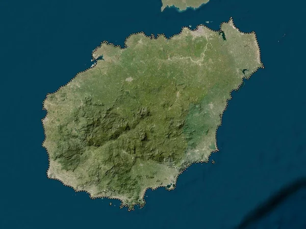
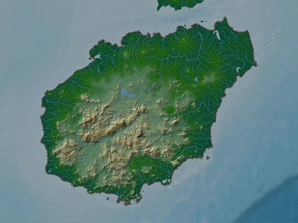
Stock image Hainan, province of China. High resolution satellite map

Published: Sep.28, 2022 10:45:44
Author: Yarr65
Views: 2
Downloads: 0
File type: image / jpg
File size: 5.04 MB
Orginal size: 3840 x 2880 px
Available sizes:
Level: bronze
Similar stock images
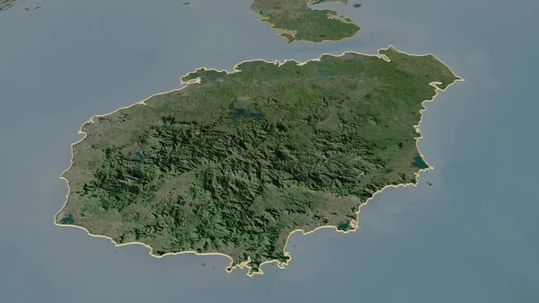
Zoom In On Hainan (province Of China) Outlined. Oblique Perspective. Satellite Imagery. 3D Rendering
3840 × 2160