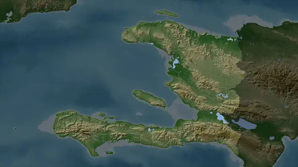
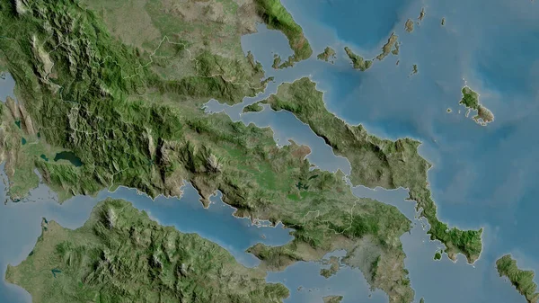
Stock image Haiti outlined on a Colored elevation map with lakes and rivers

Published: Dec.28, 2023 13:28:52
Author: zelwanka
Views: 0
Downloads: 0
File type: image / jpg
File size: 3.84 MB
Orginal size: 2688 x 1512 px
Available sizes:
Level: beginner
Similar stock images


Haiti Area On The Satellite B Map In The Stereographic Projection - Raw Composition Of Raster Layers
2880 × 1620