photo free
Home Images Vectors Videos

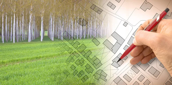
Stock image Hand drawing an imaginary cadastral map of territory with a tree on background -

Stock image Hand drawing an imaginary cadastral map of territory with a tree on background -
Published: Dec.14, 2021 10:46:40
Author: Francescoscatena
Views: 1
Downloads: 0
File type: image / jpg
File size: 13.7 MB
Orginal size: 7981 x 3168 px
Available sizes:
S
(500 x 198)
M
(1000 x 397)
L
(2000 x 794)
XL
(7981 x 3168)
EL0
(7981 x 3168)
Level: bronze
Download Image
Image topics:

Similar stock images

stock image Imaginary topographic cadastral map and land parcels of territory with trees on background and buildable vacant land for sale - concept image.

Imaginary Topographic Cadastral Map And Land Parcels Of Territory With Trees On Background And Buildable Vacant Land For Sale - Concept Image.

7872 × 3168
stock image Green project in cities, reconnecting nature and city - concept with leaf of a tree in a public park and imaginary city map

Green Project In Cities, Reconnecting Nature And City - Concept With Leaf Of A Tree In A Public Park And Imaginary City Map

7872 × 3168
stock image Global village made of wooden houses - Housing concept image with an imaginary city map on background.

Global Village Made Of Wooden Houses - Housing Concept Image With An Imaginary City Map On Background.

7872 × 3168
stock image Planning a new city - Engineer-architect drawing with a pencil a sketch of a new modern imaginary town - concept image.

Planning A New City - Engineer-architect Drawing With A Pencil A Sketch Of A New Modern Imaginary Town - Concept Image.

9328 × 3168
stock image From nature to a new city - concept image with a green grass area that fades on the map of an imaginary city with buildings and roads - nature becomes a city.

From Nature To A New City - Concept Image With A Green Grass Area That Fades On The Map Of An Imaginary City With Buildings And Roads - Nature Becomes A City.

7872 × 3048
stock image Planning a new city - concept image with hand drawing an imaginary cadastral map of territory with buildings, fields and roads against a green area

Planning A New City - Concept Image With Hand Drawing An Imaginary Cadastral Map Of Territory With Buildings, Fields And Roads Against A Green Area

6336 × 3156
stock image Imaginary topographic cadastral map and land parcels of territory with trees on background and buildable vacant land for sale - concept image.

Imaginary Topographic Cadastral Map And Land Parcels Of Territory With Trees On Background And Buildable Vacant Land For Sale - Concept Image.

6349 × 3168
stock image Imaginary cadastral map of territory with buildings, roads and land parcel - concept illustration with copy space on colored background.

Imaginary Cadastral Map Of Territory With Buildings, Roads And Land Parcel - Concept Illustration With Copy Space On Colored Background.

7872 × 3168