
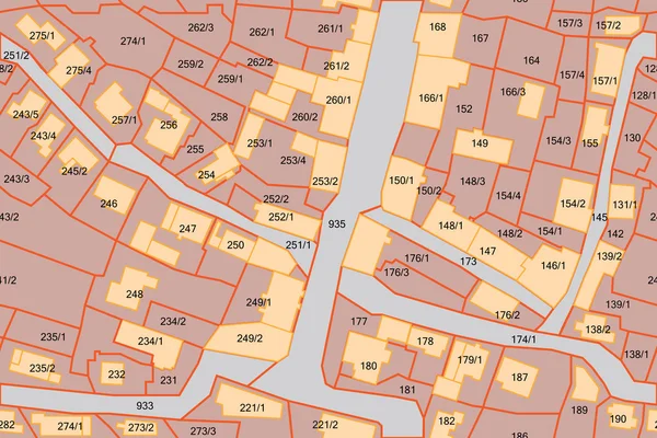
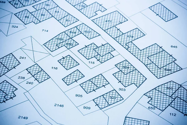
Stock image Cadastral Map
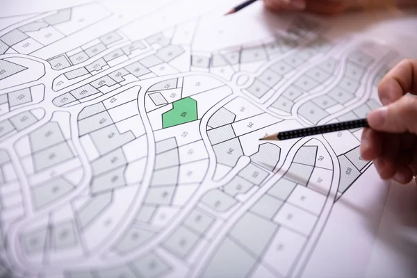

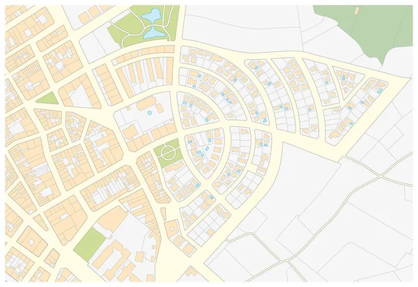
Imaginary Cadastral Map Of Territory With Buildings, Roads And Land Parcel - Land Registry Concept Illustration - Note: The Map Background Is Totally Invented And Does Not Represent Any Real Place.
Image, 7.79MB, 5284 × 3520 jpg
Imaginary Cadastral Map Of Territory With Buildings, Roads And Land Parcel - Land And Property Registry And Real Estate Property Concept Illustration
Image, 5.13MB, 6000 × 4001 jpg

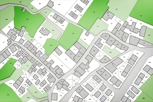
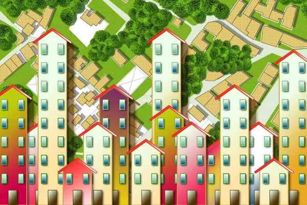
Imaginary Cadastral Map Of Territory With Public Parks And Natural Green Land
Image, 7.32MB, 5286 × 3526 jpg
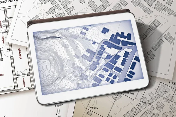
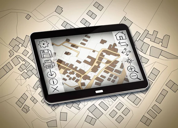
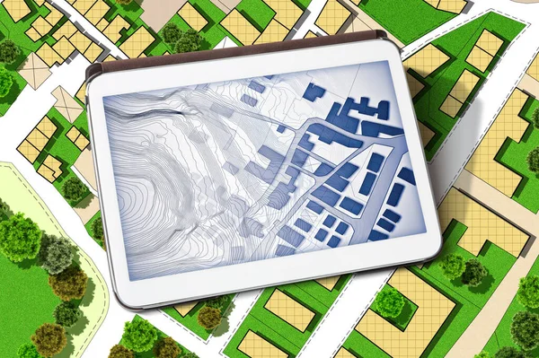
Imaginary Cadastral Map Of Territory With Buildings And Land Parcel - Concept Image With A Digital Tablet - Note: The Map Background Is Totally Invented And Does Not Represent Any Real Place.
Image, 11.99MB, 5760 × 3840 jpg
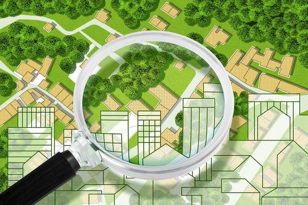
Searching New Home - Concept With An Imaginary General Urban Plan With Buildings, Roads And Magnifying Glass - NOTE: The Map Is Totally Invented And Does Not Represent Any Real Place
Image, 9.58MB, 4752 × 3168 jpg
Searching New Home - Concept With An Imaginary General Urban Plan With Buildings, Roads And Magnifying Glass - NOTE: The Map Is Totally Invented And Does Not Represent Any Real Place
Image, 6.81MB, 4752 × 3168 jpg


Renovation Of A Condominium Residential Building With A Metal Scaffolding In A Construction Site For Works On Facade - Concept Image With A City Map Of Territory.
Image, 23.32MB, 7872 × 3132 jpg
Real Estate Concept With An Imaginary Cadastral Map Of Territory With Buildings, Roads And Land Parcel - Land Registry Concept Illustration - Note: The Map Background Is Totally Invented And Does Not Represent Any Real Place
Image, 12.19MB, 4752 × 3168 jpg


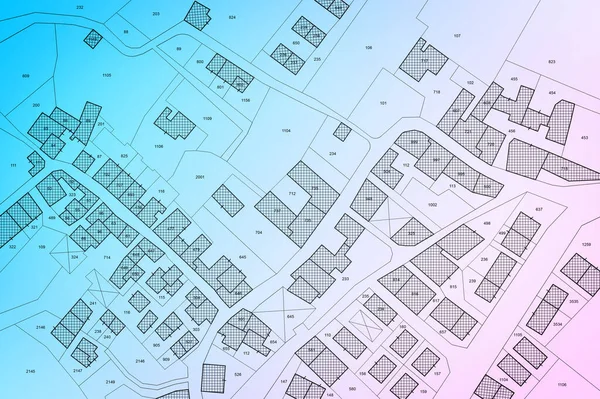
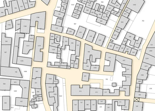
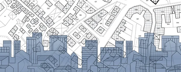
Imaginary Cadastral Map Of Territory With Buildings, Roads And Land Parcel - Imaginary Cadastral Map Of Territory With Buildings, Roads And Land Parcel - Web Banner Design Concept
Image, 28.29MB, 15000 × 5000 jpg

Handshake Against An Imaginary Cadastral Map Of Territory With Buildings And Land Parcel - Real Estate And Building Activity Agreements, Cooperation, Partnership And Business
Image, 6.47MB, 4632 × 3088 jpg
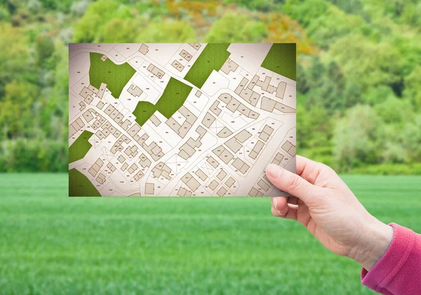
Land Plot Management - Real Estate Concept With A Vacant Land On A Green Residential Area Available For Building Construction With Hand Holding A Postcard About An Imaginary Cadastral Map
Image, 13.49MB, 6756 × 4751 jpg
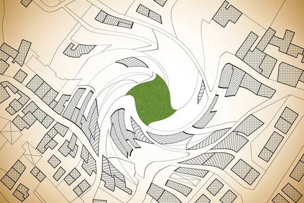
Imaginary Cadastral Map Of Territory With Building In The Center - Land Registry Concept Illustration - Note: The Map Background Is Totally Invented And Does Not Represent Any Real Place.
Image, 8.49MB, 5284 × 3520 jpg

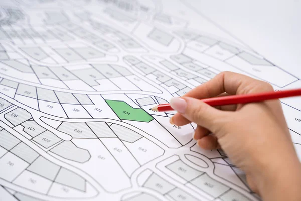
Imaginary Cadastral Map Of Territory With Buildings, Roads And Land Parcel - Land Registry Concept Illustration - Note: The Map Background Is Totally Invented And Does Not Represent Any Real Place.
Image, 19.02MB, 5700 × 4080 jpg
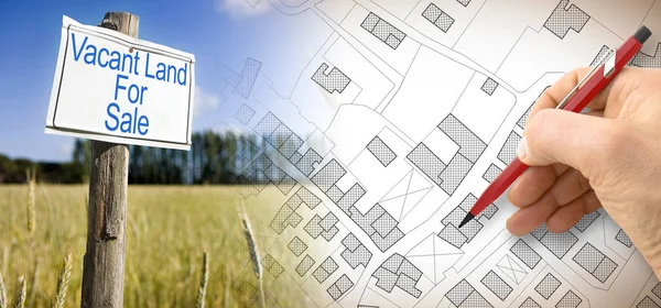
Land Management Concept With An Imaginary Cadastral Map Of Territory With A Vacant Land Available For Sale Or Building Constructio
Image, 11.39MB, 5760 × 3840 jpg
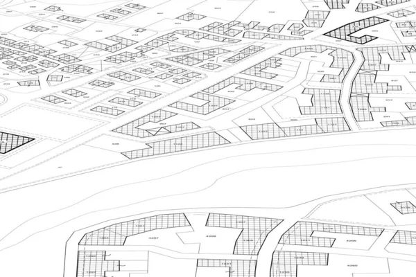
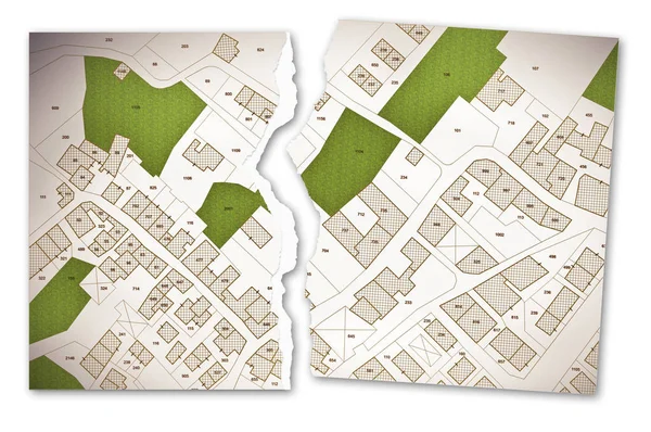
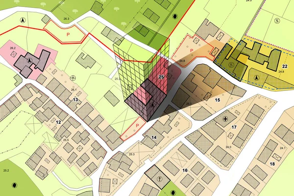
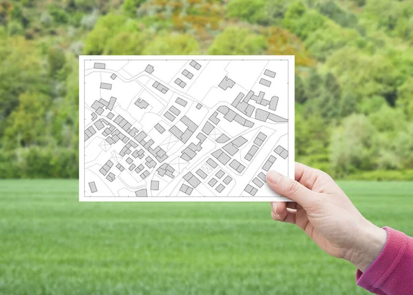
Imaginary Cadastral Map With Buildings, Land Parcel And Vacant Plot - Land Records And Property Registry Concept
Image, 11.3MB, 5745 × 4114 jpg
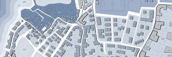
Imaginary Cadastral Map Of Territory With Buildings, Land Parcel And Green Areas With Trees - Concept With A Digital Tablet
Image, 22.13MB, 6042 × 4023 jpg
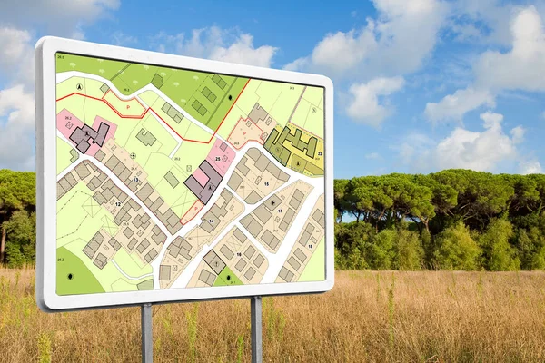
Advertising Billboard With An Imaginary General Urban Plan With Indications Of Urban Destinations Buildable Areas And Land Plot In A Rural Scene
Image, 14.82MB, 5760 × 3840 jpg
Real Estate Concept With Cityscape, Residential Building Over An Imaginary Cadastral Map Of Territory With Buildings And Land Parcel - Land Registry Concept
Image, 8.59MB, 7872 × 3168 jpg
Land Plot Management - Real Estate Concept With A Vacant Land On A Green Residential Area Available For Building Construction With Hand Holding A Postcard About An Imaginary Cadastral Map
Image, 9.63MB, 6992 × 4992 jpg
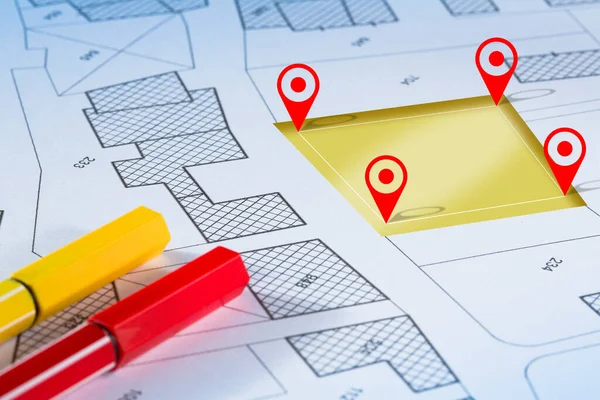
Updating Public Cadastral Databases And Information About Land Registry - Concept With An Imaginary Cadastral Map With Buildings, Land Plot, Magnifying Glass And Ruler
Image, 22MB, 7389 × 4902 jpg

Land Plot Management - Imaginary City Map With Buildings, Land Parcels And Home Silhouette - Real Estate Concept With A Vacant Land On A Green Field Available For Building Construction In A Residential Area For Sale
Image, 9.22MB, 4659 × 3322 jpg
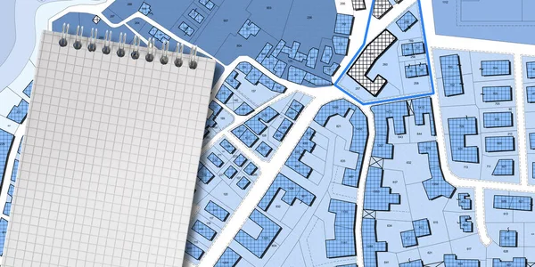
Imaginary Cadastral Map Of Territory With Buildings, Roads, Land Parcel And Notepad With Copy Space
Image, 18.56MB, 8160 × 4080 jpg
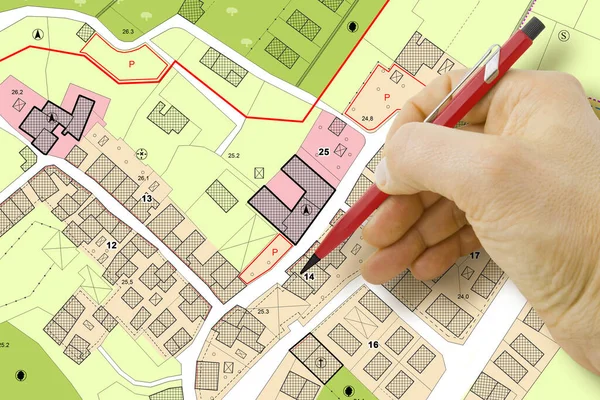
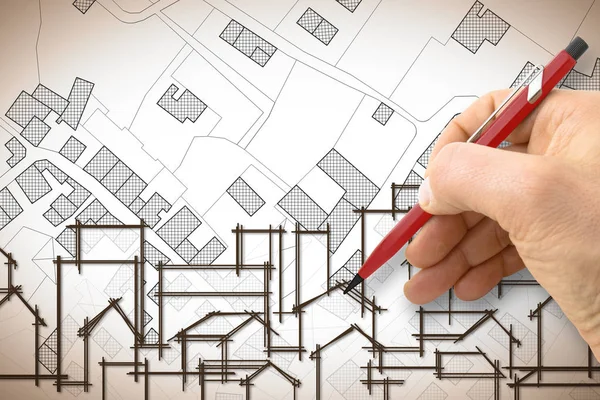
Engineer Drawing Over An Imaginary General Urban Plan Of Territory With Buildings, Roads And Land Parcel - Note: The Map Is Totally Invented And Does Not Represent Any Real Place
Image, 6.87MB, 4752 × 3168 jpg

Real Estate Concept With An Imaginary Cadastral Map Of Territory With Cityscape, Buildings, Roads And Land Parcel
Image, 21.58MB, 5256 × 3504 jpg

Hand Drawing An Imaginary Cadastral Map Of Territory With Buildings And Land Parcel - Concept With Smarphone.
Image, 7.91MB, 4752 × 3168 jpg


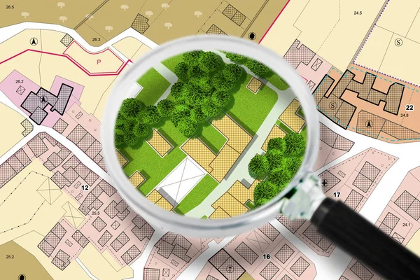
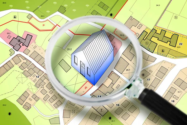
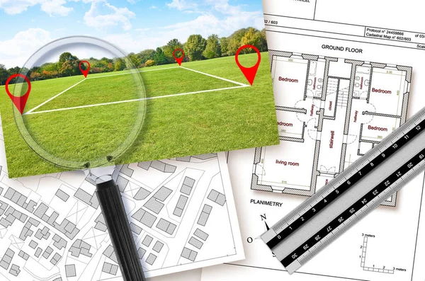
Land Management With An Imaginary Cadastral Map Of Territory With A Vacant Land Available For Sale Or Building Construction - Concept Seen Through A Magnifying Glass
Image, 6.14MB, 4752 × 3168 jpg
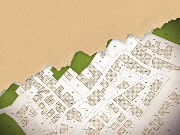
Imaginary Cadastral Map Of Territory With Buildings, Roads And Land Parcel With Copy Space For Text Insertion Over A Cardboard Background.
Image, 19.39MB, 5286 × 3989 jpg

Imaginary Cadastral Map With Buildings, Land Parcel And Vacant Plot Printed On Pape
Image, 15.44MB, 5760 × 3840 jpg

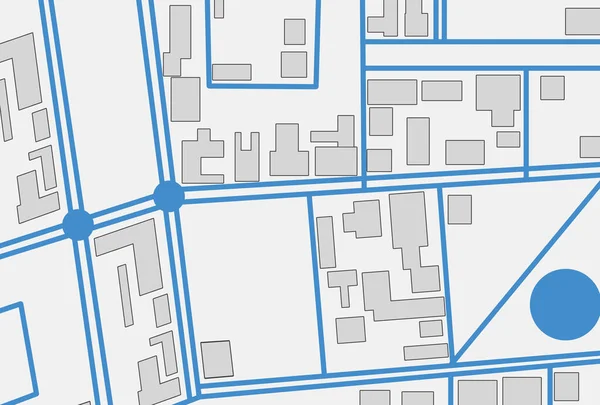
Imaginary Cadastral Map Of Territory With Buildings And Land Plots Drawn With A CAD (Computer-Aided-Design) Computer Software In Dwg Format File - Concept With Hand And Digital Pen
Image, 8.42MB, 5700 × 3800 jpg
Real Estate Concept With An Imaginary Cadastral Map Of Territory With Cityscape, Buildings, Roads And Land Parcel - Concept Image Seen Through A Magnifying Glass
Image, 17.63MB, 4752 × 3168 jpg
Page 1 >> Next