Home
Images
Vectors
Videos
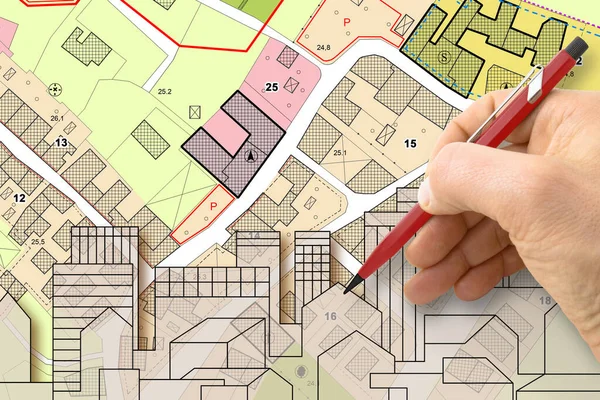
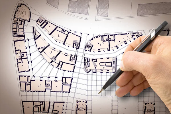
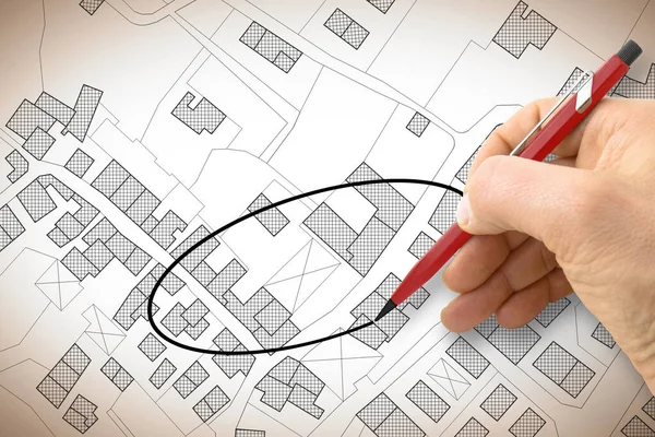
Stock image Hand drawing and select an area above an imaginary cadastral map of territory with buildings, fields, roads and land parcel - concept image
Published:
Jun.06, 2023 10:30:03
Author:
Francescoscatena
Views:
6
Downloads:
3
File type:
image
/
jpg
File size:
5.2 MB
Orginal size:
4752
x
3168
px
Available sizes:
S
(500 x 333)
M
(1000 x 667)
L
(2000 x 1333)
XL
(4752 x 3168)
EL0
(4752 x 3168)
Level:
bronze
Download Image
Image topics:
Circle
Graphic
Illustration
Field
Road
Traffic
Building
City
Urban
Measure
Measurement
Writing
Planning
Drawing
Street
Pencil
Tax
Ownership
Property
Town
Palace
Navigation
Outline
Map
Cartography
Geography
Plan
Land
Residential
Chart
Topography
Selection
Ellipse
Imaginary
Lot
Plot
Crossroad
Survey
Vacant
Taxation
Valuation
Contributions
Cadastre
Human Hand
Copy Space
Home Ownership
Cadastral
Exaction
Cartographic Survey
Land Register
Similar stock images
Architect Drawing Buildings Over An Imaginary Cadastral Map Of Territory And General Urban Plan With Indications Of Urban Destinations With Buildings, Roads, Buildable Areas And Land Plot
4752 × 3168
Architect Drawing A New Residential Building Over An Imaginary Cadastral Map Of Territory.
4752 × 3168
Architect Drawing A Conceptual Wooden House Over An Imaginary Ca
5751 × 4147
Land Plot And Building Map. Urban Development Planning
8732 × 2911
Architect Drawing A Residential Building Over An Imaginary Cadas
4752 × 3168
Design A New City - Hand Drawing With A Pencil A Sketch Of A New
4752 × 3168
Land Plot And Building Map. Urban Development Planning
9504 × 6336
Human Hand Holding Pencil Over Paper Cadastre Map
9153 × 3051