Home
Images
Vectors
Videos
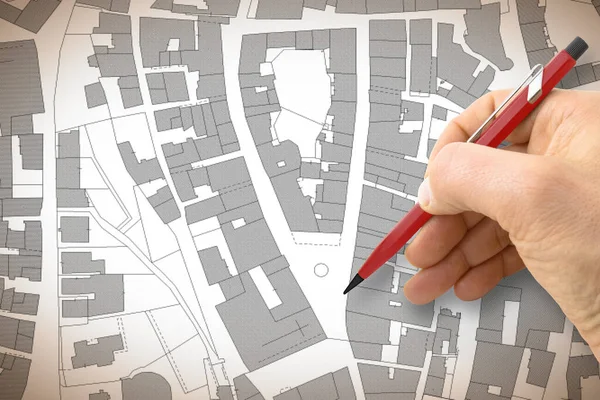
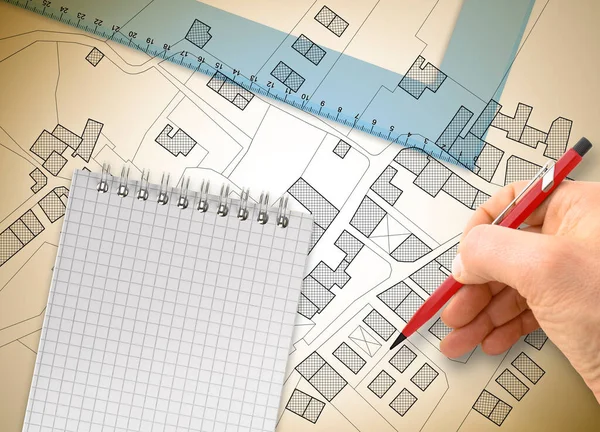
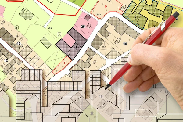
Stock image Architect drawing buildings over an imaginary cadastral map of territory and General Urban Plan with indications of urban destinations with buildings, roads, buildable areas and land plot
Published:
Dec.02, 2022 06:56:31
Author:
Francescoscatena
Views:
23
Downloads:
4
File type:
image
/
jpg
File size:
6.76 MB
Orginal size:
4752
x
3168
px
Available sizes:
S
(500 x 333)
M
(1000 x 667)
L
(2000 x 1333)
XL
(4752 x 3168)
EL0
(4752 x 3168)
Level:
bronze
Download Image
Image topics:
Design
Concepts
Ideas
Road
Concept
Architecture
Building
City
Urban
Home
Planning
Drawing
Street
Ownership
Project
Property
Cityscape
Town
Skyline
Map
Cartography
Plan
Land
Residence
Architect
Housing
Residential
Engineer
Topography
Master
Destination
Survey
Register
Surveyor
Urbanism
Valuation
Zoning
Cadastre
Real Estate
Residential District
Residential Building
Home Ownership
Masterplan
Cadastral
Land Registry
Land Plot
Buildable
Building Activity
Cadastral Survey
Zoning Regulation
Similar stock images
Land Plot And Building Map. Urban Development Planning
8732 × 2911
Engineer Drawing An Imaginary City Map Of Territory With Buildings, Fields, Roads And Land Parcel - Construction Industry Concept Image.
4752 × 3168
3D Rendering Of Colored Work Tool Over A Cadastral Map Of Territory With Buildings, Fields And Roads - Concept Image.
5751 × 4147
Architect Drawing A Residential Building Over An Imaginary Cadas
4752 × 3168
Land Map And Urban Building Project Plan Or Plot
8688 × 2896
Architect Draws A Sketch. The Construction Project. Working Space.
4911 × 3274
Design A New City - Hand Drawing With A Pencil A Sketch Of A New
4752 × 3168
Urban Street Paving With Modern Stones In An Pedestrian Zone - Concept With An Imaginary City Map
7872 × 3168