
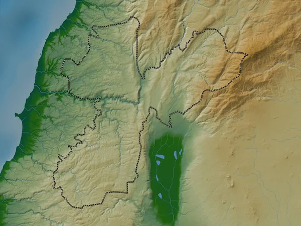
Stock image HaZafon, district of Israel. Elevation map colored in wiki style with lakes and rivers

Published: Oct.11, 2022 10:21:58
Author: Yarr65
Views: 3
Downloads: 0
File type: image / jpg
File size: 6.29 MB
Orginal size: 3840 x 2880 px
Available sizes:
Level: bronze
Similar stock images

West Bank, Region Of Palestine. Elevation Map Colored In Wiki Style With Lakes And Rivers
3840 × 2880
Nabatiyeh, Governorate Of Lebanon. Elevation Map Colored In Wiki Style With Lakes And Rivers
3840 × 2880

Mount Lebanon, Governorate Of Lebanon. Elevation Map Colored In Wiki Style With Lakes And Rivers
3840 × 2880


