photo free
Home Images Vectors Videos

Stock image High resolution topographic map of Arizona
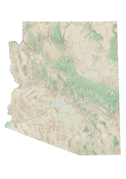
Stock image High resolution topographic map of Arizona
Published: Jan.27, 2021 15:14:18
Author: intrepix
Views: 24
Downloads: 2
File type: image / jpg
File size: 4.72 MB
Orginal size: 7015 x 9933 px
Available sizes:
S
(353 x 500)
M
(706 x 1000)
L
(1412 x 2000)
XL
(7015 x 9933)
EL0
(7015 x 9933)
Level: beginner
Download Image
Image topics:

Similar stock images

stock image Amman, province of Jordan. High resolution satellite map

Amman, Province Of Jordan. High Resolution Satellite Map

3840 × 2880
stock image High resolution topographic map of Idaho

High Resolution Topographic Map Of Idaho

7015 × 9933
stock image Nebraska, state of United States of America. Elevation map colored in wiki style with lakes and rivers

Nebraska, State Of United States Of America. Elevation Map Colored In Wiki Style With Lakes And Rivers

3840 × 2880
stock image High resolution topographic map of Utah

High Resolution Topographic Map Of Utah

5551 × 7086
stock image Shape of Arizona, state of Mainland United States, with its capital isolated on white background. Satellite imagery. 3D rendering

Shape Of Arizona, State Of Mainland United States, With Its Capital Isolated On White Background. Satellite Imagery. 3D Rendering

3355 × 3836
stock image Shape of Mauritania with its capital isolated on white background. Satellite imagery. 3D rendering

Shape Of Mauritania With Its Capital Isolated On White Background. Satellite Imagery. 3D Rendering

1984 × 2194
stock image High resolution topographic map of Montana

High Resolution Topographic Map Of Montana

11811 × 7015
stock image High resolution topographic map of western Texas

High Resolution Topographic Map Of Western Texas

7677 × 10039