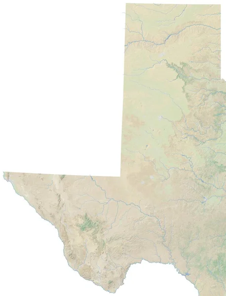
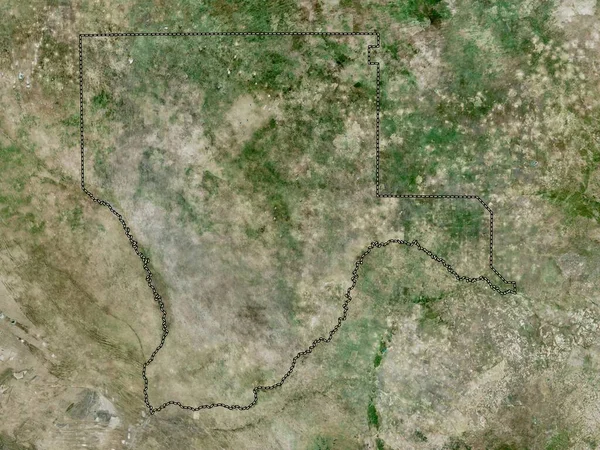
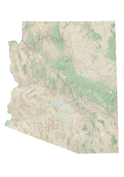
Stock image High resolution topographic map of western Texas
Published: Jan.27, 2021 15:14:18
Author: intrepix
Views: 2
Downloads: 0
File type: image / jpg
File size: 4.14 MB
Orginal size: 7677 x 10039 px
Available sizes:
Level: beginner
Similar stock images

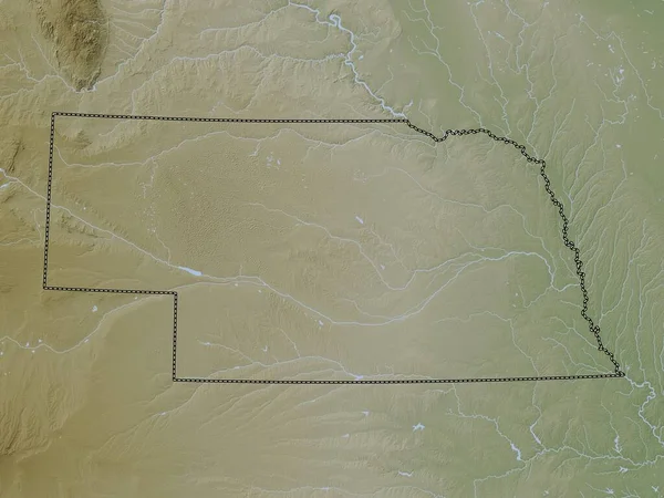
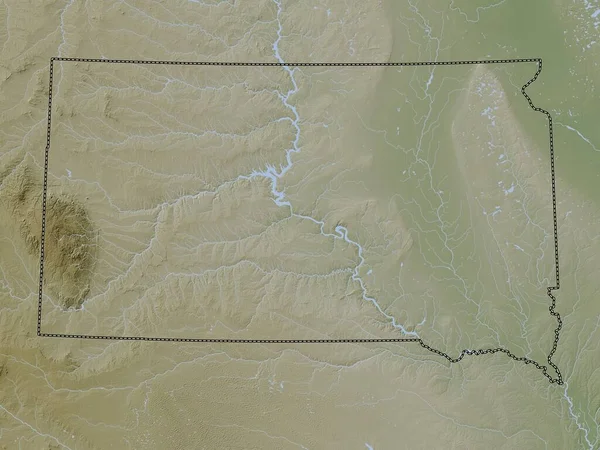
Nebraska, State Of United States Of America. Elevation Map Colored In Wiki Style With Lakes And Rivers
3840 × 2880