Stock image Hiva Oa Island in the South Pacific Ocean on a colored elevation map

Published: Sep.11, 2024 13:56:37
Author: zelwanka
Views: 0
Downloads: 0
File type: image / jpg
File size: 1.11 MB
Orginal size: 2880 x 1620 px
Available sizes:
Level: beginner
Similar stock images


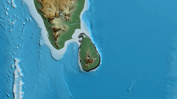
Close-up Of The Sri Lanka Border Area On A Relief Map. Capital Point. Bevelled Edges Of The Country Shape.
3840 × 2160