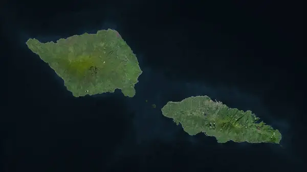
Stock image Samoa highlighted on a high resolution satellite map
Published: Mar.15, 2024 17:06:31
Author: zelwanka
Views: 0
Downloads: 0
File type: image / jpg
File size: 1.78 MB
Orginal size: 2688 x 1512 px
Available sizes:
Level: beginner
Similar stock images
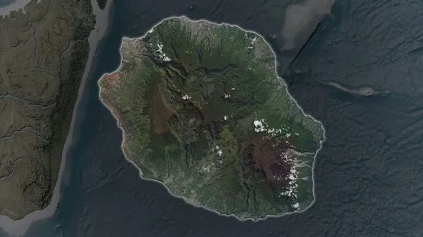
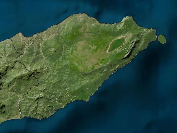
Reunion Area Enlarged And Glowed On A Darkened Background Of Its Surroundings. Satellite Imagery
3840 × 2160

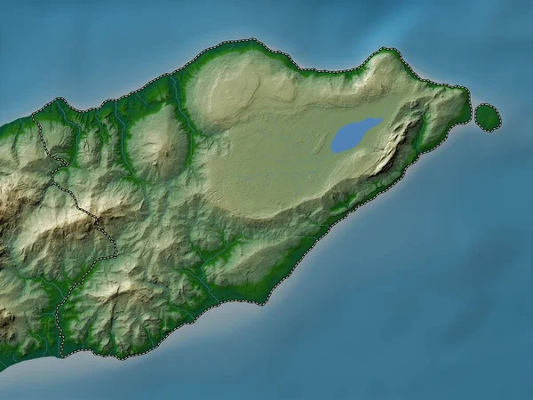
Reunion Area Enlarged And Glowed On A Darkened Background Of Its Surroundings. Satellite Imagery
3840 × 2160
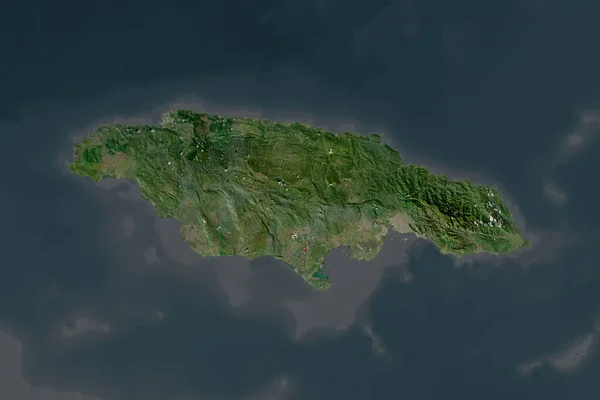
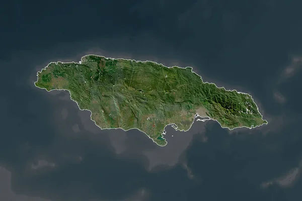
Shape Of Jamaica Separated By The Desaturation Of Neighboring Areas. Satellite Imagery. 3D Rendering
3000 × 2000

Samoa Area Enlarged And Glowed On A Darkened Background Of Its Surroundings. Satellite Imagery
3840 × 2160