Home
Images
Vectors
Videos
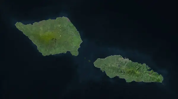
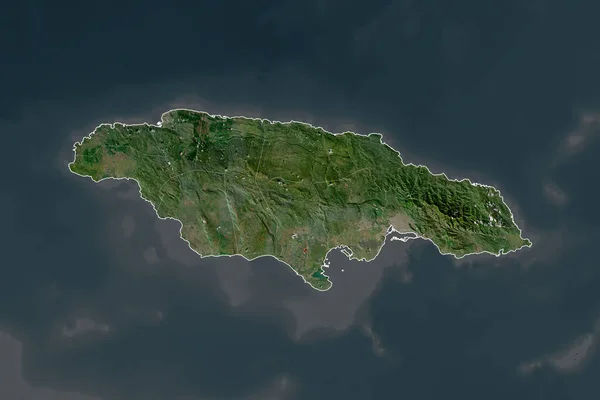
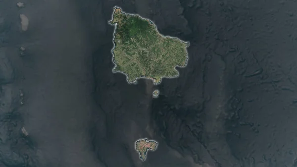
Stock image Hiva Oa Island in the South Pacific Ocean on a satellite image taken in May 15, 2023
Published:
Sep.11, 2024 14:00:58
Author:
zelwanka
Views:
0
Downloads:
0
File type:
image
/
jpg
File size:
4.49 MB
Orginal size:
2880
x
1620
px
Available sizes:
S
(500 x 281)
M
(1000 x 563)
L
(2000 x 1125)
XL
(2880 x 1620)
EL0
(2880 x 1620)
Level:
beginner
Download Image
Image topics:
Shape
Nature
Border
Contour
Earth
Planet
World
France
Ocean
Science
Imagery
Outline
Country
Map
Geography
Continent
Land
Zoom
Island
Satellite
Region
Oceania
Territory
Atlas
Fra
Stereographic
South Pacific Ocean
Hiva Oa Island
Similar stock images
Samoa Highlighted On A High Resolution Satellite Map
2688 × 1512
Crete, Decentralized Administration Of Greece. Low Resolution Satellite Map
3840 × 2880
The Highlighted Area Of United States - Hawaii With Capital Point On The Desaturated Map Of Its Neighbourhood. Satellite Imagery
2880 × 1620
The Highlighted Area Of Montserrat With Capital Point On The Desaturated Map Of Its Neighbourhood. Satellite Imagery
2880 × 1620
Nueva Esparta - State Of Venezuela Zoomed And Highlighted. Satellite Imagery. 3D Rendering
2880 × 1620
Shape Of Jamaica Separated By The Desaturation Of Neighboring Areas. Borders. Satellite Imagery. 3D Rendering
3000 × 2000
Bornholm, Island Of Denmark. Colored Elevation Map With Lakes And Rivers
3840 × 2880
Norfolk Island Area Enlarged And Glowed On A Darkened Background Of Its Surroundings. Satellite Imagery
3840 × 2160