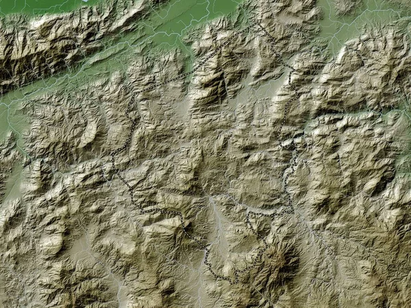
Stock image Huila, department of Colombia. Elevation map colored in wiki style with lakes and rivers

Published: Sep.28, 2022 11:07:06
Author: Yarr65
Views: 1
Downloads: 0
File type: image / jpg
File size: 10.65 MB
Orginal size: 3840 x 2880 px
Available sizes:
Level: bronze
Similar stock images

Cundinamarca, Department Of Colombia. Elevation Map Colored In Wiki Style With Lakes And Rivers
3840 × 2880
Risaralda, Department Of Colombia. Elevation Map Colored In Wiki Style With Lakes And Rivers
3840 × 2880

Pichincha, Province Of Ecuador. Elevation Map Colored In Wiki Style With Lakes And Rivers
3840 × 2880

Boyaca, Department Of Colombia. Elevation Map Colored In Wiki Style With Lakes And Rivers
3840 × 2880
Santander, Department Of Colombia. Elevation Map Colored In Wiki Style With Lakes And Rivers
3840 × 2880
Norte De Santander, Department Of Colombia. Elevation Map Colored In Wiki Style With Lakes And Rivers
3840 × 2880